At first, I was hoping that a red segment at 12 o’clock would indicate that I was within the free speed limit range. The others would then show when I was below the limit. If I exceeded the limit, each segment would then show approximately €50 in most countries and €100 in Switzerland.
The north direction is already included in the camera view icon.
RT
Habe dasselbe Problem: Die Höhenangabe in der MyRouteApp, Vers. 5.1.0-462, zeigt ca. 50 m höher an als der Barometer und Höhenmesser auf demselben Smartphone (Gigaset GX 4Pro, Android 14), siehe Bilder.
[image: 1779627288231-screenshot_20260524-144225.png]
[image: 1779627307746-screenshot_20260524-144847.png]
Die Höhenmesser-App ermittelt die korrekte Höhe von 508 m üNN aus dem GPS und dem Drucksensor des Smartphones (Sensor: Bosch ICP101XX).
Why the fastest? I'm not interested in the fastest, but a winding road…Tomtom, however, gives 3 very different options...so I would say that there are alternatives from A-B...I thought that even MRA had the same logic of proposal...and anyway, despite having disabled the use of toll roads and highways, it makes me pass on this type of road...I would say that there are some problems anyway...
@ATLast, This is the app forum category, so here's how to do it within the app:
Open a favorite, swipe the bottom menu to the reveal all options, press "Edit favorite", hide the keyboard panel, press "delete favorite"
@Con-Hennekens I realise waiting 3 hrs to fix itself was a little off. I just wanted to see if it ever got fixed. MRA is so comprehensive that it's really hard to remember all of the little things, especially the ones that are seldom used. This was my first attempt at a circle tour.
@Lluis-Arasanz said:
Hope it will be solved in next version.
Since Corjan already promised that, I have full confidence
Exactly which version remains to be seen though.
From what I’ve seen, the subscription usually stays active until the end of the paid period even if auto-renew is turned off. Might still be worth checking the account page once to make sure the renewal setting actually saved correctly.
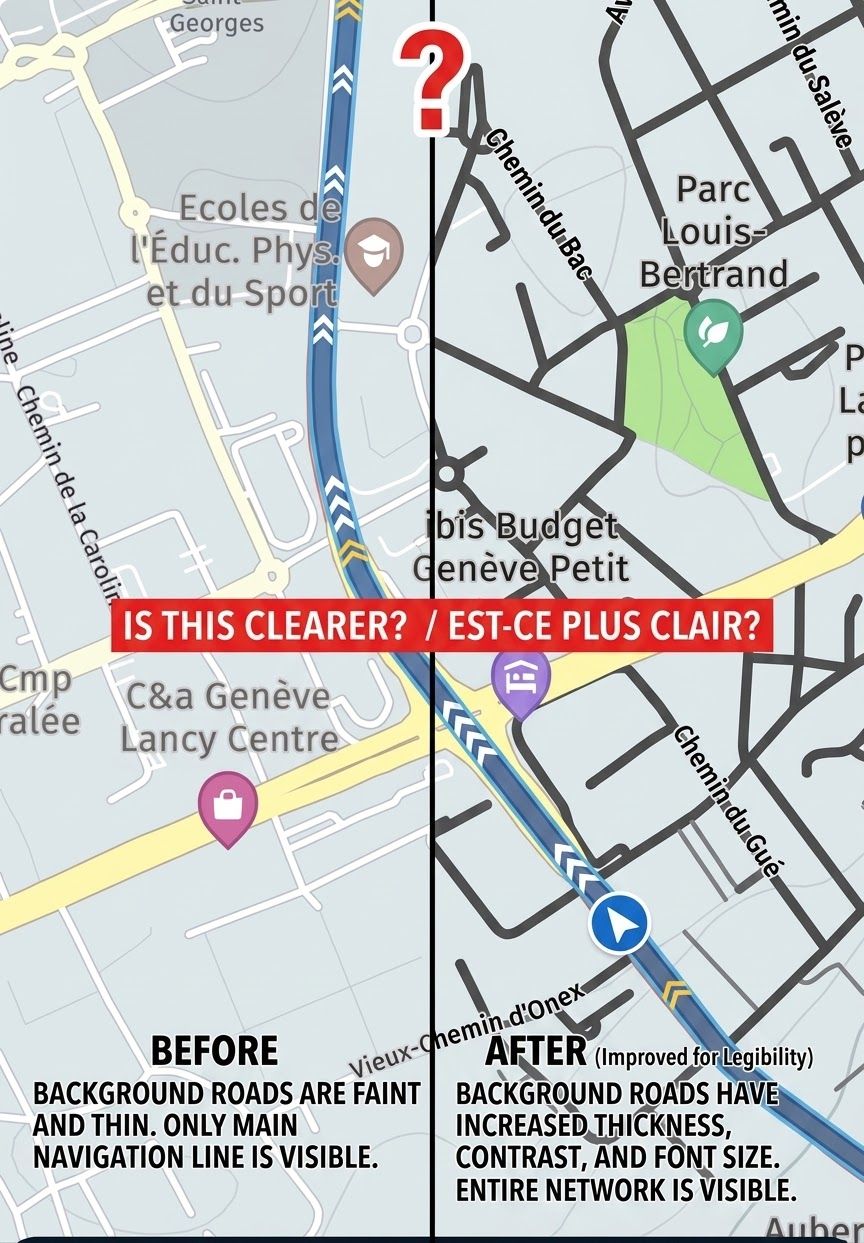
Explore is de kaart die ik altijd gebruik, somlige wegen hebben bijne dezelfde kleur, dat is het een minimum verschil, ik gebruik MRA ook voor rit tracking in de auto, zodat ik snel kan kijken waar ik reeds geweest ben, soms ook op de motor.
@Corjan-Meijerink. Yes but what I am trying to say is that N indication (understandably) moves and I have to think about which direction I am moving. The first suggestion gives reference marks to make easier/quicker to understand which direction I am travelling, particularly if I am heading SE or SW. The second suggestion is an alternative way to quickly see direction of travel.
Something similar to this without the middle detail. I can see clearly my direction of travel without having to think and can see my change relative to North:
[image: 1778694312178-img_0948.jpeg]
Just used to using a physical compass that allows me to picture this orientation quickly without having to look too hard. Hope I have made myself a little clearer.
For privacy sensitive information, please create a support ticket.
We won't answer these specific questions on the forum.
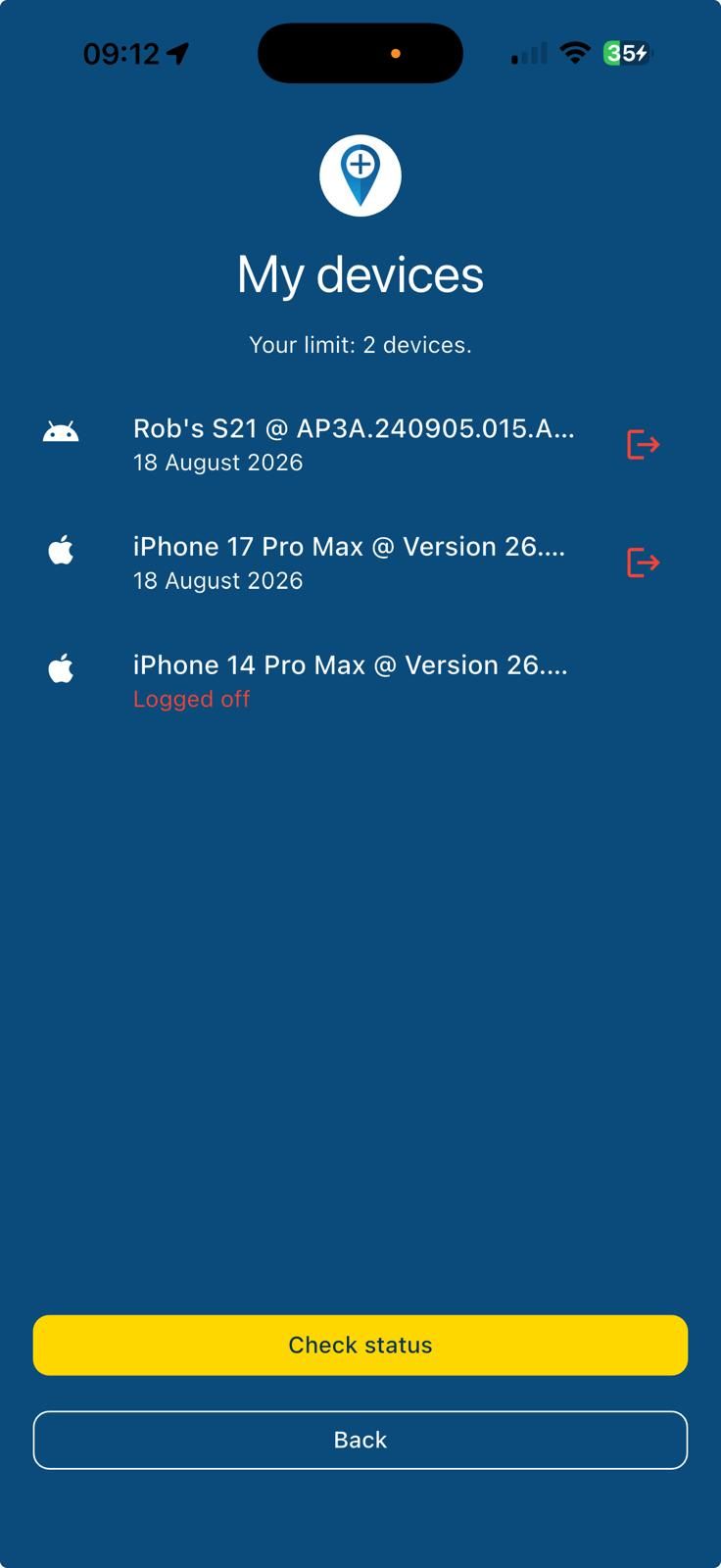
Support can see exactly which devices logged activity at which dates.
@nomko, Nee dit gaat niet buiten MRA om nee. Een nieuwe versie van een SDK kan pas geïntroduceerd worden in een nieuwe versie van de app. Zoals in meer draadjes te lezen is, is het draaien van de kaart al gefixt door HERE, maar andere bugs in de nieuwe SDK versie belemmeren een uitrol in de app. Nog even geduld dus.
@Andre-Trudeau, if you don't want automatic updates, you should disable automatic updates on your device. Updates are an OS setting in your playstore/appstore, not an app setting. That this specific update forced a relogin an settings check was announced though.
Yes. You get two new routers (part 1 and part 2) split there where you want the original route to split. You can name them separately and the original route still is there under it's own name