-
-
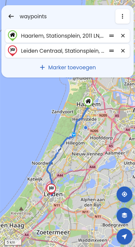
Veekeersinfo en omleiden
Moved -
-
-
-
-
-
-
-
Wunderlinq mive keft
Moved -
-
-
-
-
-
-
-
-
-
ACTIVE USERS
 undefined
 undefined
 undefined
 undefined
undefined
undefined
undefined
undefined
 undefined
 undefined
 undefined
 undefined
 undefined
undefined
undefined
undefined
undefined
undefined
undefined
undefined
undefined
 undefined
 undefined
POPULAR TOPICS
undefined
undefined
POPULAR TOPICS
artbone
Haug
Albert van den Elsen
RetiredWingMan
Herman Veldhuizen
superg
Guzzist
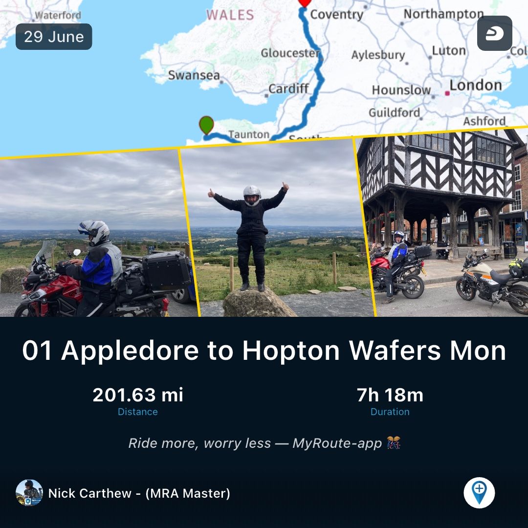
Nick Carthew
Dave J 0
Sytze van der Laan
Mzokk
John S Parry
Bouke Ent
Stevedo 6 0
iain.gardengmail.com
b0hd1
Con Hennekens
rolop
MY GROUPS