@Marinus-van-Deudekom said:
Did you make the route with the webplanner. I see that the route is with the Here map.
I always plan my routes on the web planner, and use Here, I do compare with OSM and tom tom while making them. I also use the Michelin overlay as the Here is very wishy washy, and bad contrast.
perhaps I inadvertently changed it, but I do not know why I would do that.
@Brian-McG said:
I think the only way to try & figure out what is occurring is if you can re-ride the route & get a repeat of the issue then save the app log file for the devs
as stated above, I have ridden the route previously (3-4 times) without issue. I have sent the logs.
@Brian-McG said:
in fact I get the exact opposite, at every junction it is telling me to stay ON the m-way or main A-road
when I have ridden the route before, that is what normally happens.
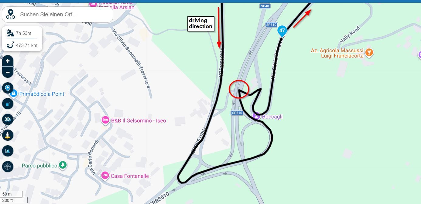
For info to all, I merely put this on here as discussion point, and to highlight the behaviour, although it is good to read the differing points of view.
I am touring around Ireland from Thursday, no motorway to speak of so may not see this again.
@Brian-McG said:
It looks like a decent ride to Hawick so should not be to much of a hard task
it is a very nice route, although the road between Middleton and Alston is very uneven, not great on my K1600, almost throws me out of the seat in places, enjoyed it more when I had the GSA
@marinus-van-deudekom,
@Marinus-van-Deudekom said:
That could be the result of the settings in NN.
Could you share your settings
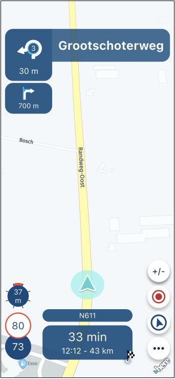
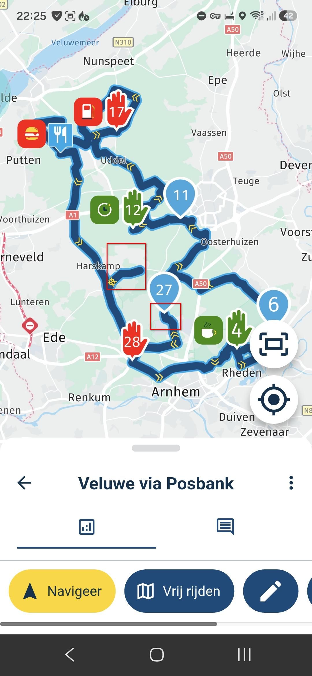
I use fastest route in optimisation, the rest is below
[image: 1783355754115-img_1231.jpeg]
[image: 1783355764069-img_1232.jpeg]
[image: 1783356048716-screenshot-2026-07-06-at-17.37.25-resized.png]