-
-
-
-
-
-
-
MRA 5.2.1 (486) POI function- Share POI folder from the app to a friend // POI Funktion- POI Ordner aus der App an einen Freund teilen
[Beta] Suggestions and Discussions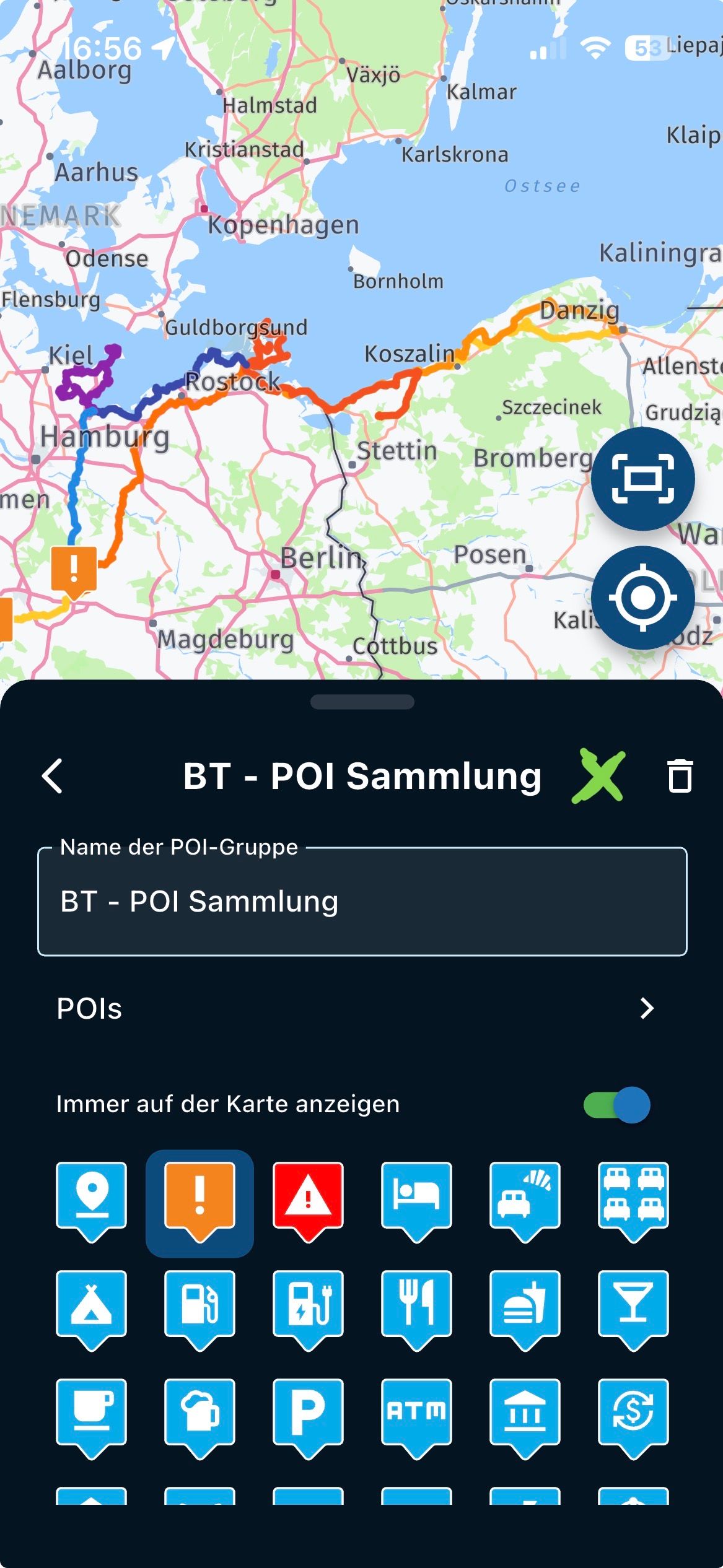 2
2
-
-
-
-
Offline Track Navigation - Path Errors with Large Distance Between Points
[App] Problems, Bugs and other Issues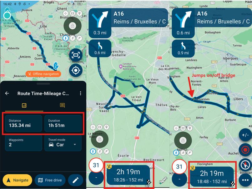 1
1
-
-
-
-
-
-
-
-
MRA V5.2.1 (486) Photo in the track recording is rotated; photo orientation is ambiguous.
[Beta] Problems, Bugs and other Issues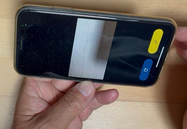 1
1
-

ACTIVE USERS
 undefined
undefined
undefined
undefined
undefined
 undefined
undefined
undefined
 undefined
 undefined
 undefined
 undefined
 undefined
 undefined
 undefined
 undefined
 undefined
POPULAR TOPICS
MY GROUPS
undefined
POPULAR TOPICS
MY GROUPS
Carl Lee
Huibertus
Roger Needham 0
Corjan Meijerink
Kirsten De Weerd
Con Hennekens
Nick Carthew
Hans van de Ven MR.MRA
Marinus van Deudekom
paul69
Lluis Arasanz
Steve Jarrell
Mzokk
Guzzist
-
7903.7k
-
0865
-
017266
-
0585
-
0425
-
738501
-
0310
-
0222