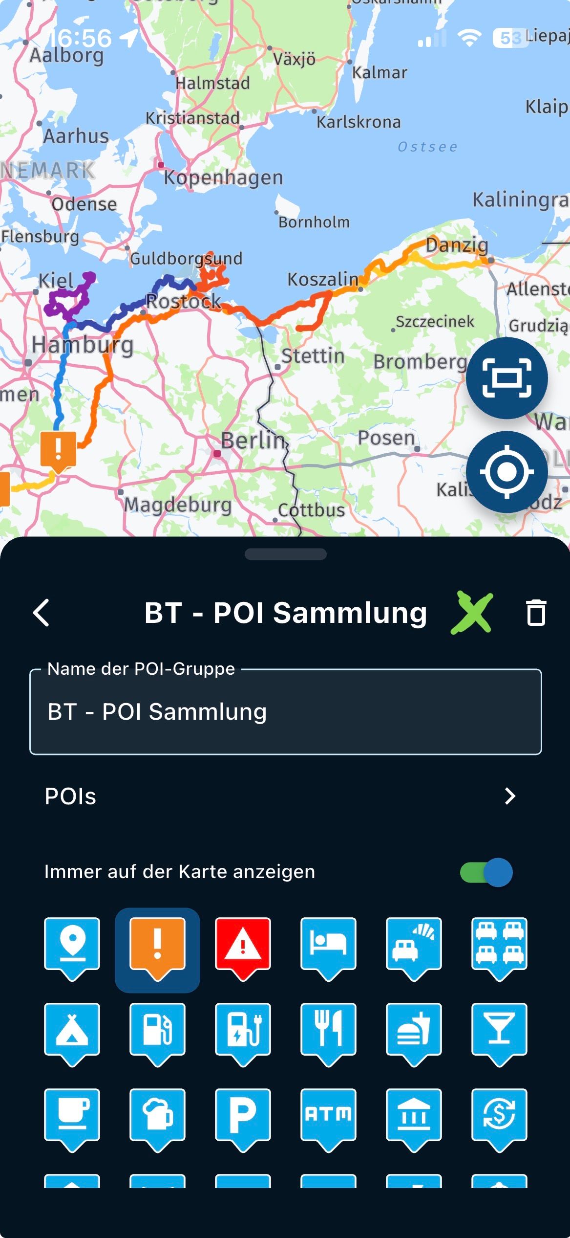
Eine wichtige Voraussetzung für Ihren Wunsch ist, dass diese Art von Informationen dem Kartenanbieter (Here, TomTom usw.) bekannt ist.
Bei der Here-Karte können Sie im Routenplaner wählen, ob Sie Umweltzonen meiden wollen. Es wird dann nicht unterschieden, wer in dieser Umweltzone fahren darf und wer nicht
In fact, during navigation, MyRoute-App is announcing street names for next turn. Which is often not really helpful.
It would be much more helpful, if - additionally to the announcement p.e. "turn right" - also a direction would be spoken, as it is visible on traffic signs (direction to next city) on the traffic junction.
I assume you are talking about the app. In the settings you can already set opacity and thickness of the route line. Of you set a smaller thickness, you will see white sides of that line coming through.
Would be a nice addition , to see the nice roads, and thus able to plan on it on the phone as well . I usually don't have a laptop with me when I am on a bike trip.
Heb altijd garmin gebruikt en heb de kleuraanpassing van vooral de track zeer prettig gevonden. Nu een Carpe Iter tablet, deze zat op motor die ik kocht, en ben nu met mra aan het navigeren. Rijd de route als track. Mijn grootste probleem is, als de route afwijkt van de track, dan komt de track als een witte lijn in beeld.
Deze is voor mij niet duidelijk. Ik zou een rode lijn als track willen hebben, zodat ik duidelijker kan zien als de route gaat afwijken.
Thanks @Con-Hennekens
@OGRIII we specialise in scenic routing.
Sticking to a specific AB fastest route resulted in many unwanted recalculations forcing you to stick to that option where another option is available. It is indeed a deliberate choice.
AI is really just a language model.
Perfectly capable of identifying nice POI's - really, that's an amazing use for it. However they cannot generate routes at all.
Well, they "can" as they "understand" the general perception of latitude and longitude. So a route they make will be a GPX of all lat lng of those POI's added together.
Because an AI has no clue at all about highways, general routing or other factors why we use a routeplanner, there is no fun at all.
How does it become interesting?
Use AI to parse user requirements into a list of POI's
Feed those to our scenic routing server
Show the scenic route to the user with waypoints at each of the POI's
@Corjan-Meijerink said in Group Riding & Sharing Locations:
something we will tackle in combination with a major webs
Here is another that has just announced Group Riding functionalities.
It look s rather cool.
https://calimoto.com/en/our-motorcycle-blog/group-riding
@Guzzist I already use Siri via my Sena Headset. I can start phone calls, sent WhatsApp messages, I can save my current location with comment via short command "Kurz Befehl".
I can ask Siri about the weather and more. And since some weeks I use ChatGPT via Siri for more options. This all during riding and hands-free.
With Siri you can start a navigation via Apple Maps. If you now can make MRA the default navigation App. MRA needs to be able to take these commands and start a route.
Let's see what the future brings.