Skip to content

[Web] Suggestions and Discussion

595 Topics 3.9k Posts
  • Default POIs

    4
    0 Votes
    4 Posts
    507 Views
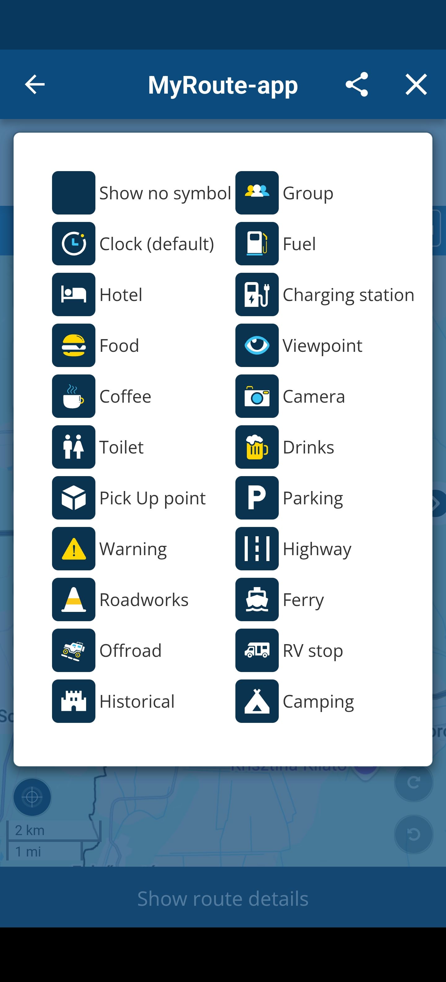
    Perfect - thanks. It would be nice if you could import your own icons for the POI
  • de route omdraaien.

    2
    0 Votes
    2 Posts
    268 Views
    @K9Biker Als je een Gold-abonnement hebt, vind je een tool in de toolkit. Maak eerst een kopie van je route en draai die kopie vervolgens om. Noteer de afstand voordat je de route omkeert; als deze aanzienlijk verandert, moet je elk routepunt controleren. If you have a Gold subscription there is a tool in the toolkit. Make a copy of your route first and then reverse the copy. Take not of the distance before reversing and if it changes significantly you will need to check each route point.
  • Here kaart

    hallo
    9
    0 Votes
    9 Posts
    910 Views
    @Nomko-Nomden Goeie aanvullingen
  • Voeg bij de routepunten de straatnaam en gemeente toe.

    4
    0 Votes
    4 Posts
    325 Views
    Rob was me net voor zie ik
  • Data export elevation profiles

    1
    0 Votes
    1 Posts
    185 Views
    No one has replied
  • Kaart Griekenland in griekse letters

    Moved
    6
    1
    0 Votes
    6 Posts
    620 Views
    @joost-schutten Via de rode pijl stel je de plankaart in. OSM en TomTom geeft hier de Griekse taal weer. De Here-kaart toont de plaatsnamen in het Engels. Gebruik je de OSM- of de TomTom-kaart om te plannen, dan kun je de Here-overlay (blauwe pijl) gebruiken om de plaatsnamen weer in het Engels te tonen. [image: 1775820266574-menubalk-met-overlay.png]
  • Route analysis in WEB planner...

    8
    0 Votes
    8 Posts
    1k Views
    Hi Rainer, okay, thanks, now I understand and it works. MMGA
  • Distances between waypoints

    100
    12
    0 Votes
    12 Posts
    4k Views
    Using the Altitude feature is counter intuitive and no better than doing some rough mental arithmetic on the distances from the Way point list. Another reason for having automatic displayed distances between way points is for tank range estimation. On a long trip it gets very complicated factoring in fuel stops. The slider thing at the bottom is about as much use as a chocolate fire guard when it comes to fuel range as is the Altitude tool. The best work around is to guess a point along a route, drop a marker and estimate the rough distance. But Workarounds are not functionality, they just compensate for poor design. It is functionality I'm asking for. Making MRA an indispensable tool for route planning rather than just the same as all the other route planners out there.
  • OSM error 403r

    2
    4
    2 Votes
    2 Posts
    418 Views
    Hi, j'avais ce problème. En suivant vos conseils, cela est revenu normal. Merci beaucoup pour vos commentaires. GULL
  • Add folder support in breadcrumb

    3
    0 Votes
    3 Posts
    397 Views
    Seems to be a browser cache issue for me, because clicking on the link does not go back to the folder, but the main root. I tried in incognito mode and it works indeed. No clue, what the cache does wrong here. After purging it, it works. Thanks for the hint But sadly to hear, that implementing a small breadcrumb is not an option in future
  • Direct inloggen op het forum zonder omweg

    Locked
    8
    2
    0 Votes
    8 Posts
    933 Views
    @Nomko-Nomden said in Direct inloggen op het forum zonder omweg: jij op je teentjes getrapt moet voelen Dat ben ik zeker niet. Ik stel gewoon een duidelijke grens. Ga dat niet opzoeken en er zeker niet overheen. De vraag is beantwoord en ik vergrendel dit topic.
  • WEB-version of From-To, heavily curved, avoid highway

    3
    0 Votes
    3 Posts
    490 Views
    Ahh. That was a good tip. Very useful workaround. Thanks a lot Lex !!
  • Line color

    1
    1 Votes
    1 Posts
    185 Views
    No one has replied
  • Fit to screen

    7
    1
    2 Votes
    7 Posts
    1k Views
    @Con-Hennekens If not in this version, perhaps on next big Web Update (we are expecting this long time ago ) Regards
  • Multiple users to edit route

    19
    3 Votes
    19 Posts
    5k Views
    @Jörgen said in Multiple users to edit route: Hi, that is already possible. Go to Groups, create a group, invite friends. Then the can add routes. If you want to change something, use the route, make changes and load again into the group. That's what I want to avoid. Having to "Use route" every time. It would be more usefull to edit the route right there.
  • Shaping and waypoint colors

    Moved
    10
    1 Votes
    10 Posts
    1k Views
    I guess this is a typical men's discussion... Men tend to be more or less colorblind, or at least less color sensitive. #metoo by the way, but therefore a real man...
  • Please update import routine

    1
    0 Votes
    1 Posts
    183 Views
    No one has replied
  • Icone Waypoint

    8
    2
    0 Votes
    8 Posts
    1k Views
    @Gerd-Teubel said in Icone Waypoint: Kann mich dem nur anschliessen. Wäre schön, wenn die Wegepunkte das eingestellte POI-Symbpl bekommen. Noch ein weiterrer Vorschläg wäre, das man die Farbe der Route ändern kann. Schwarz ist auf Hybridkarten nicht immer gut zu erkennen. Just to help the international audience, I’ll translate Gerd’s post a bit: “I also see the need to be able to clearly identify the POIs entered into a route. In addition, I think it would be good to be able to change the color of the route: The black routes are sometimes hard to see on the hybrid maps.” @Gerd-Teubel Sorry, if I mistranslated something. Greetings Thomas
  • Simulatiebalk onderaan route - autoplay ?

    Moved
    1
    0 Votes
    1 Posts
    229 Views
    No one has replied
  • Using AI ?

    14
    0 Votes
    14 Posts
    2k Views
    I didn't dive that deep in it yet, ty I will have a look at it.
ACTIVE USERS POPULAR TOPICS MY GROUPS