@Don-Stauffer said in Favorites, POI's and waypoints:
The per-route implementation of POI in the 'manage' tab works a little better, as I can turn on and off any particular POI. The POI is visible regardless of zoom level. Two good features there. But I cannot maintain the list off-line, and I cannot carry it into a new route.
That is indeed one of the things I hope will improve in the new web version.
Problem is that MRA does not follow the GPX standard for POI and you have only the "name" field available.
I did not heard of the app Tablecruncher before, but it is indeed a simple CSV editor that is open source.
I have ran into the same problems that you did and started out using Excel to edit POI, as I also use a Garmin device and wanted to have more fields available. After some time I switched into Google Sheets because I wanted to access POI also when I was not at home.
This can be accessed "In the Cloud" and can be programmed with Javascript instead as Visual Basic in the Excel version. Downside is that you must have a Google account.
With javascript I progammed an Import/Export function for GPX/KML files, can Geocode coordinates in the way as Garmin uses the fields and also add addresses into the name field so I have the address in the MRA POI available.
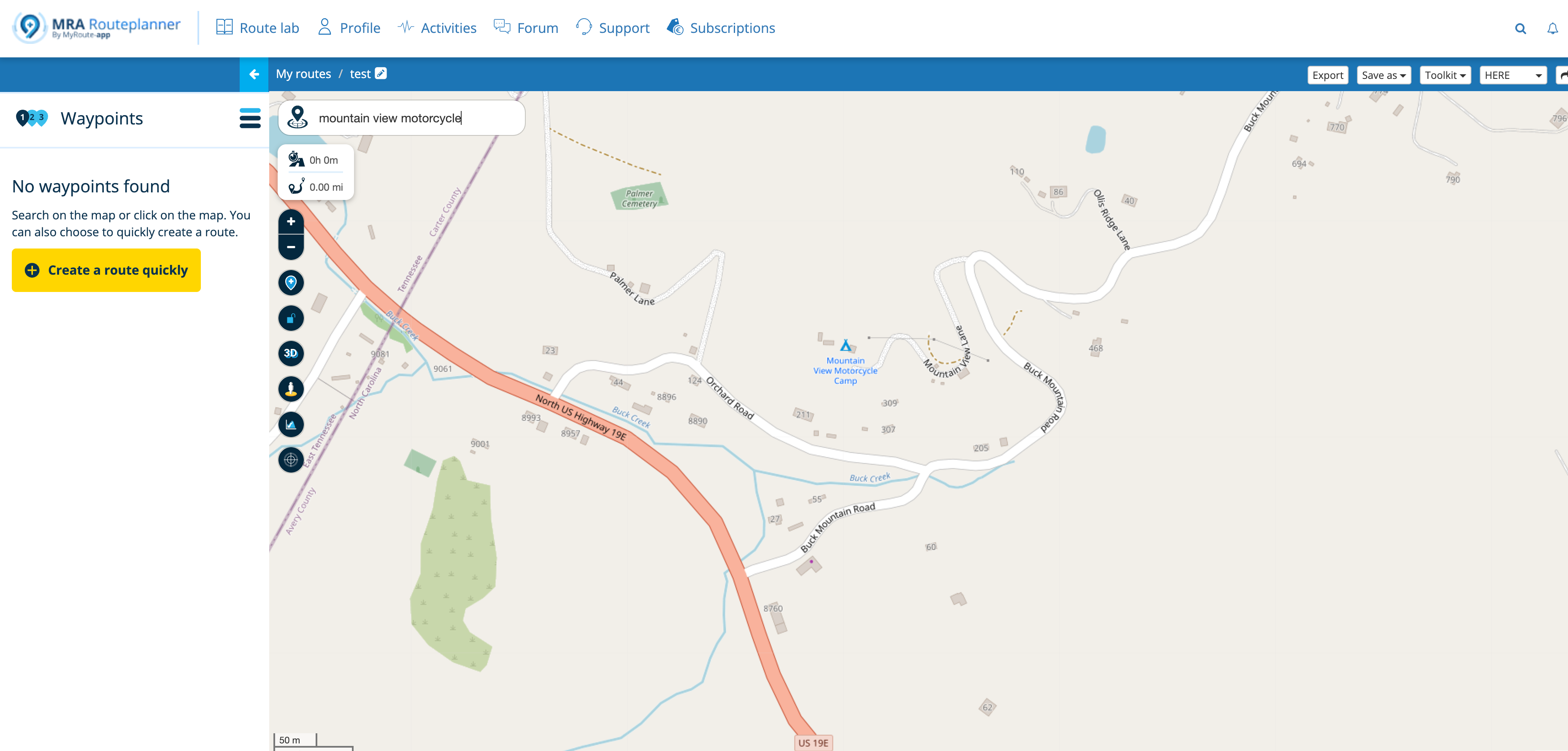
Import in MRA I do with GPX as CSV will not always importing correct into MRA
[image: 1776769439631-98e8d95f-889f-47db-a227-1ccf2a522f43-poi_1.png]
[image: 1776769492274-910a92d0-167c-4c9c-99b1-cfd6222185df-poi_4.png]
I do not think MRA will implement an complete POI editor, but follow the "Standard" GPX fields and add more Icons would be a big improvement.
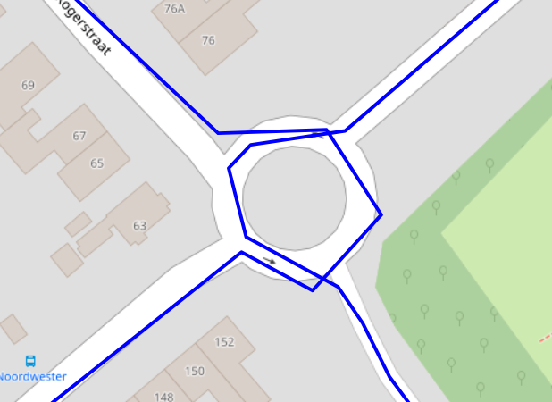
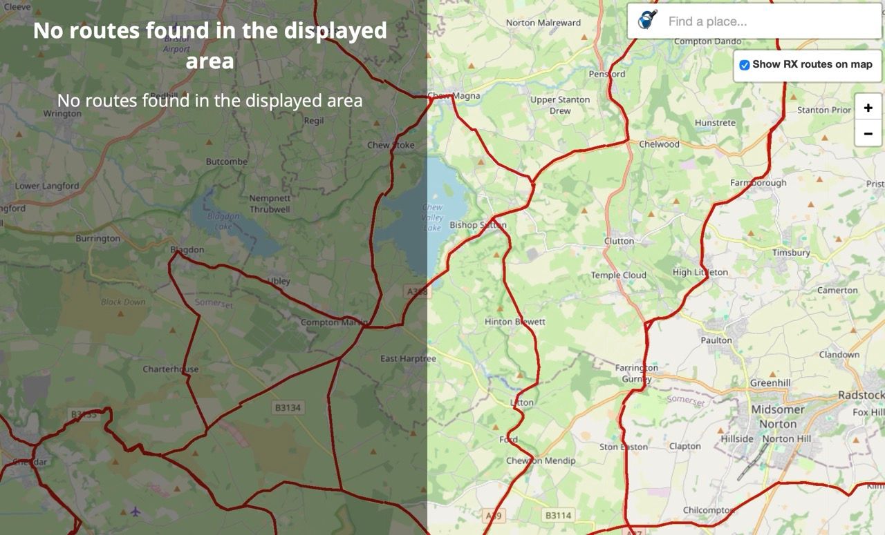
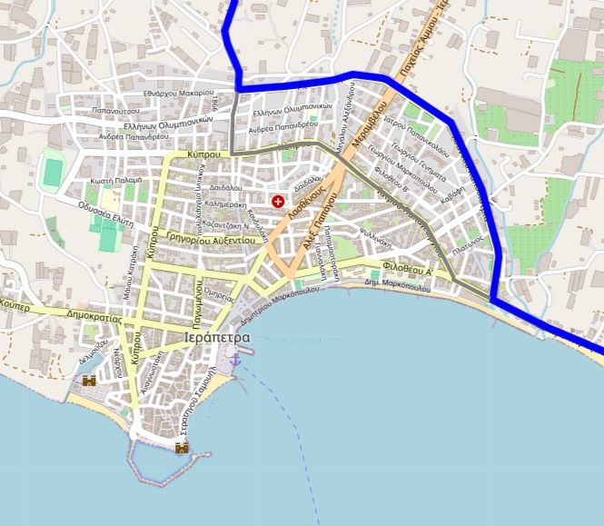
Instead of Trello I use UMAP, that runs on Openstreetmap, for managing POI as it can also import GPX and you can manage into POI catagories.
[image: 1776769517767-2eaa7056-b7e3-456f-851a-1285f6d06123-umap.png]
[image: 1776769711991-8e2a9db3-c39c-4f80-9aca-313b9d75c356-umap_1.png]
[image: 1776769740980-830eb313-3b98-4506-be05-93cfca149b8d-umap_2.png]
My workflow is as follows:
Import or add data on Google sheets --> Edit and export GPX --> Import into Umap to check, edit in Google Sheets --> export GPX --> import in MRA
 undefined
 undefined
 undefined
 undefined
 undefined
 undefined
 undefined