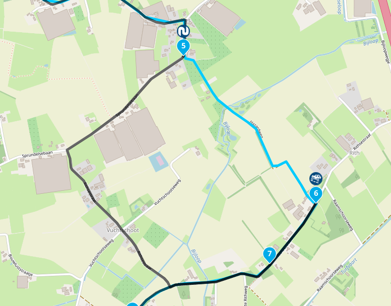
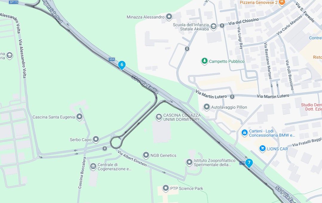
Skip to content

[Web] Problems, Bugs and other Issues

601 Topics 4.3k Posts
  • Absurd detours on the highway maps HERE

    22
    0 Votes
    22 Posts
    420 Views
    Yes, thank you! I didn't know that OSM didn't support long distances...
  • iPad - Changing Text for an Waypoint closes the Waypoints list.

    6
    0 Votes
    6 Posts
    401 Views
    Just noticed…..You fixed it
  • Adding POI as waypoint has weird options

    2
    0 Votes
    2 Posts
    136 Views
    @Makro To start with the easiest question: no, if you deselect a POI, it does not disappear from your own POI list. The options you are given—adding it as a POI and/or as a waypoint—allow you to choose whether to see both or just one of them. You can then place the created waypoint on the route line (for example, if the POI point is far away from the road) while leaving the original POI point in its original location. After placing the POIs in your route, you can deselect your own library. Only the POIs that have been placed in your route will then be visible. This is especially useful if your own list contains more than 2,000 POIs, as there is a limitation in the navigation app: it displays a maximum of 2,000.
  • Web planner SKIP button

    2
    0 Votes
    2 Posts
    105 Views
    @Stephan-Dornberg Let’s say you click the skip button for route point 10, the system will draw a straight line from 9 - 10 and effectively turn off navigation between those two points. Useful for bypassing a closed section of road or using a ferry.
  • 0 Votes
    4 Posts
    237 Views
    Wouldn't it be neat if having found an exceptional* route blockage the app could display it in red, indicating to the user why the route is not as direct as expected. The user would be informed, rather than confused. Not sure if it's feasible, but it would certainly have helped me in the past! Example: [image: 1767303433170-combi.jpg] *closed road, serious jam, etc.
  • Can't increase the number of waypoints

    5
    0 Votes
    5 Posts
    242 Views
    thank you - it was a friends route. I should have checked it
  • POI

    2
    1 Votes
    2 Posts
    128 Views
    You can report it here: https://mapfeedback.here.com/#/report
  • opencycle issues

    a7 groningen
    8
    0 Votes
    8 Posts
    540 Views
    @Rolf-Engelsman, change your base map to OpenSTreetMap, and your transport method to bicycle: [image: 1766418681937-0d6eb088-149a-4c69-a396-7b55330554cf-image.png]
  • using GPS coordinates for planning not always correct

    16
    0 Votes
    16 Posts
    1k Views
    I just opened maps.google op my pc and searched for Ugarit ruins. Right clicked on the red droplet and copied the coordinates to the clipbord. Opened a new route in the web routeplanner and copied the coordinates in the search box. In all the mapsets the coordinates were correct. But looking at the picture you posted, the coordinates showed are N and E notation (h ddd° mm' ss.s"). If you can not change the "degrees, minutes, seconds" notation into decimal on your phone, you have to convert them: N 35° 35' 19.2"E 035° 44' 05.9" or 35° 35' 19.2" N and 035° 44' 05.9" E. [image: 1765629311771-coordinates-javawa.jpg] Only in Dutch https://www.javawa.nl/coords.html
  • (afwijkende) pauze tijd wordt niet meegenomen in de planner

    6
    0 Votes
    6 Posts
    844 Views
    Bedankt voor de update @white.mouse. Ervaar hier helaas nog steeds precies hetzelfde. De oplossing werkt gelukkig ook nog steeds Edit: Getest met Safari op macOS Tahoe 26.1
  • Google Maps/Street View issues?

    4
    0 Votes
    4 Posts
    351 Views
    Mmm, interesting. After a refresh, it now works again for me as well, although the blue lines from Street View only re-appeared after first clicking somewhere to actually go into Street View. Weird, but glad it works again.
  • Importing a GPX file

    9
    0 Votes
    9 Posts
    2k Views
    Thank you for this derivation and explanation
  • POI Library Question

    9
    0 Votes
    9 Posts
    887 Views
    I'm already looking forward to it when the new WebPlaner appears as an update, some ideas on the subject of POIs are already available and are waiting to surprise us with the ideas in the implementation Some patience is still required, but that will definitely be worth the wait. VG
  • Searching for a route

    12
    1 Votes
    12 Posts
    898 Views
    I can not give you any suggestions for that, other than to organize POI in excel and import it into your own personal library. I know the POI methods in MRA can use some TLC. I just don't want to give you any hope of seeing changes in the current web planner. All efforts will be made in a new web planner, that will definitely take some time before release
  • POI Questions

    6
    0 Votes
    6 Posts
    602 Views
    @Martin-Wilcke said in POI Questions: @Brett-Bartick said in POI Questions: I see the number of entries allowed in the "Points of Interest --> Library" is 50. Is there any particular reason why this limit is set to 50? Where did you get this information? I hit the limit. The MRA application said I couldn't create anymore. "It is not allowed to have more than 50 POI groups. Delete a group and you may add a new one."
  • Problem with shared Routes

    10
    0 Votes
    10 Posts
    1k Views
    Only the MRA sharing within the app or web page to friends, group or in an event delivers 100% of the content that you have created yourself in MRA. For this you always have to use MRA!!! In one of the export files, the additional MRA information such as colors or text info for the WP will be lost. A user gets the best result if he uses the MRA navigation.
  • Anmeldung im Forum geht nicht für neue User warum ?

    5
    0 Votes
    5 Posts
    520 Views
    Niemand zweifelt an den guten Absichten von Hubert oder irgendjemand anderem.
  • Scenic navigatie

    2
    0 Votes
    2 Posts
    250 Views
    Hoi Henry Het is niet perfect maar wel super handig als je snel een route wil hebben die niet over de rijkswegen gaat. Dat het alternatief er langs loopt heeft meer te maken met het gebrek aan alternatieven op die plek
  • kan ik van een route met routepunten weer een track maken?

    3
    0 Votes
    3 Posts
    372 Views
    hi @Conny-v-Staveren zo maak ik een overzicht van een hele roadtrip https://forum.myrouteapp.com/post/70970 this is how I do an overview of a entire road trip https://forum.myrouteapp.com/post/70970
  • Map Routing on Web wont continue along road, starts to backtrack.

    4
    0 Votes
    4 Posts
    544 Views
    Thanks for the response. I will have to Keep that Display traffic option in mind. I usually look at google maps or the state road construction project websites as I am making routes. I did click it but it wasn't showing anything even when I zoomed in. I just tried it again and it took a little for the info to appear but as I was scrolling around the map more and more of the road was showing under construction/closed.
ACTIVE USERS POPULAR TOPICS MY GROUPS