@Guzzist said in MRA Bewertung 5 : 5 stimmt das was meint ihr dazu ?:
Andererseits rüstet MRA auch für Offroad nach. Das könnte auch gut werden, da die Holländer ja schon mehrere Landkarten eingebaut haben (auch Topo), und weil sie nicht nur nach Routen navigieren können, sondern auch nach Tracks.
Naja - ganz so einfach ist es nicht. Es wird nicht wirklich der Track navigiert, sondern eine auf Grundlage des Tracks gerechnete Route. Solange die Route und der Track deckungsgleich sind, funktioniert das gut. Wenn nicht, laufen die weiße Linie (Track) und die blaue Linie (Route) auseinander. Wenn für einen Teil gar keine sinnvolle Route berechnet werden kann, bekommt man dort eine "Luftlinie". Und die vielen eingebauten Karten nützen nichts, da die Berechnung dieser Route immer mit HERE erfolgt.
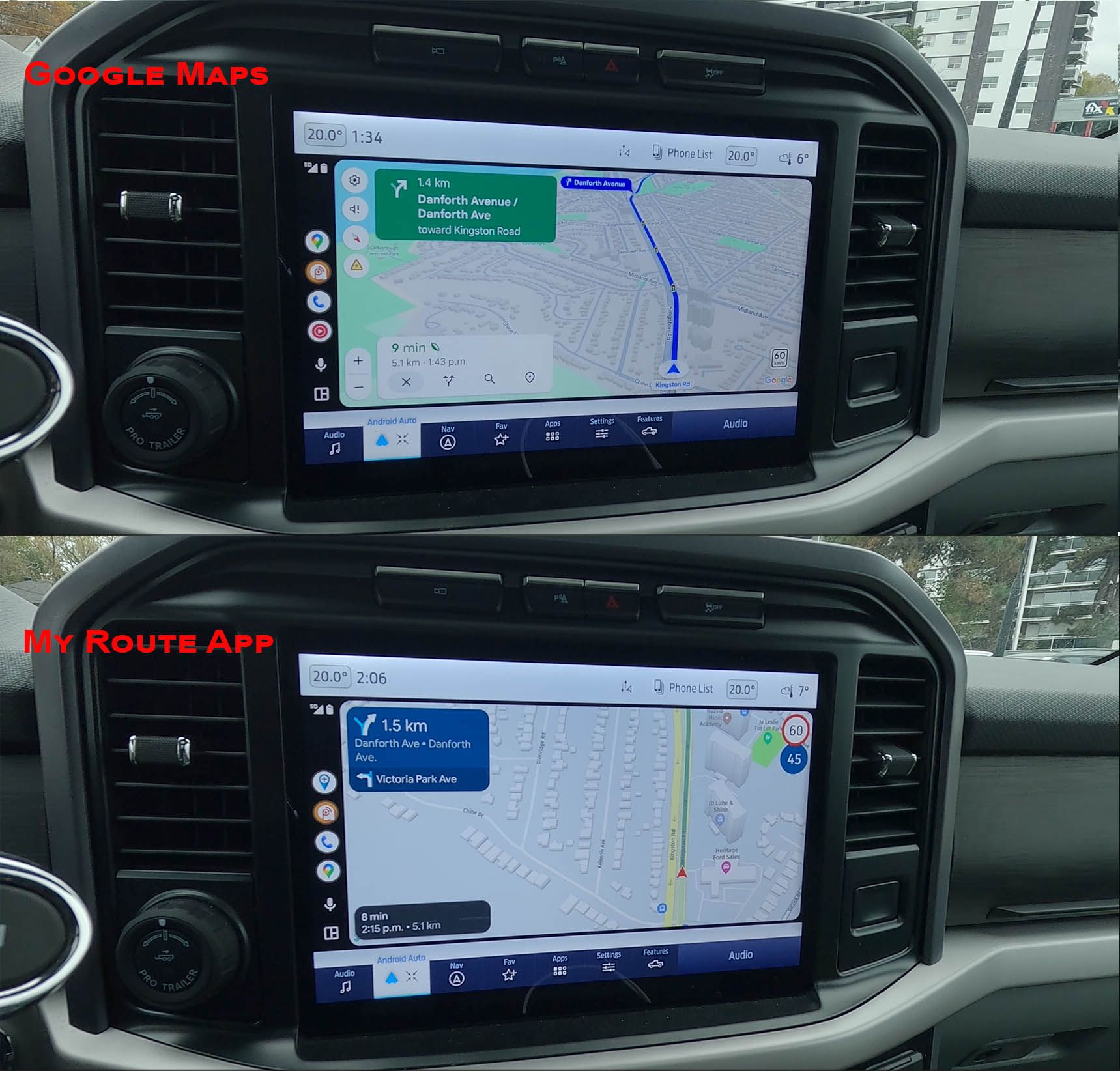
Für den Haupt-UseCase funktioniert das ganz prima; es geht ja darum, dass sich ein User einfach eine GPX-Datei laden und diese kann navigiern kann - unabhängig davon, ob es sich dabei um eine Route oder einen Track handelt. Und da die MRA-Zielgruppe auf Straßenfahrer fokussiert, ist das ein absolut genialer Ansatz.
Aber es ist keine echte Track-Navigation und es wird auch empfohlen, bei dieser Art der Navigation online zu bleiben.
DMD macht das anders - da geht echte Track-Navigation und wirklich 100% offline.
Aber aus meiner Sicht ist das absolut ok so. Ich nutze lieber mehrere Apps, die auf verschiedene Dinge spezialisiert sind, als eine App, die alles kann aber nichts wirklich gut.