Vraagje mbt Plannen met behulp van satellietbeelden
-
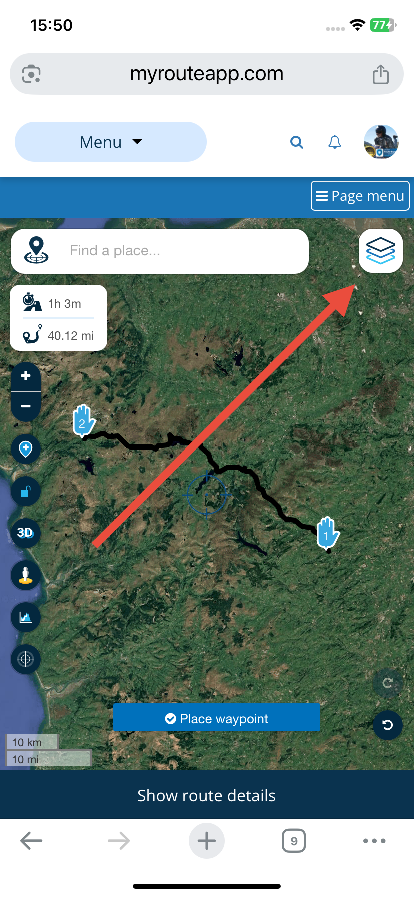
Normaal gesproken maak ik altijd gebruik van de mogelijkheid om de map met satellietbeelden te gebruiken tijdens het plannen van routes .
tot van middag stonden deze altijd in het rijtje van de te selecteren kaarten hier staan nu nog maar drie mogelijkheden Standaard Open street map,Tom Tom ,Here .
Doe ik iets fout ik heb er vanochtend nog gewoon mee kunnen plannen ?Normally I always take advantage of the option to use the satellite images folder when planning routes.
Until this afternoon these were always in the list of maps to be selected, here there are now only three options. Standard Open street map, Tom Tom , Here .
Am I doing something wrong? I was able to plan with it this morning? -
Normaal gesproken maak ik altijd gebruik van de mogelijkheid om de map met satellietbeelden te gebruiken tijdens het plannen van routes .
tot van middag stonden deze altijd in het rijtje van de te selecteren kaarten hier staan nu nog maar drie mogelijkheden Standaard Open street map,Tom Tom ,Here .
Doe ik iets fout ik heb er vanochtend nog gewoon mee kunnen plannen ?Normally I always take advantage of the option to use the satellite images folder when planning routes.
Until this afternoon these were always in the list of maps to be selected, here there are now only three options. Standard Open street map, Tom Tom , Here .
Am I doing something wrong? I was able to plan with it this morning?@Erik-35 The maps that you list are the planning maps. Google Satellite is one of the overlay maps.
-
Bedankt gewoon overheen gekeken .
soms kan het zo simpel zijn
-
 undefined Hans van de Ven MR.MRA locked this topic on
Hello! It looks like you're interested in this conversation, but you don't have an account yet.
Getting fed up of having to scroll through the same posts each visit? When you register for an account, you'll always come back to exactly where you were before, and choose to be notified of new replies (either via email, or push notification). You'll also be able to save bookmarks and upvote posts to show your appreciation to other community members.
With your input, this post could be even better 💗
Register Login-
09127
-
1784
-
17133
-
010201
-
310260
-
011267
-
06175
-
0549