Skip to content
  • 0 Votes
    2 Posts
    29 Views
    Thanks for reporting! Will be fixed.
  • 0 Votes
    5 Posts
    231 Views
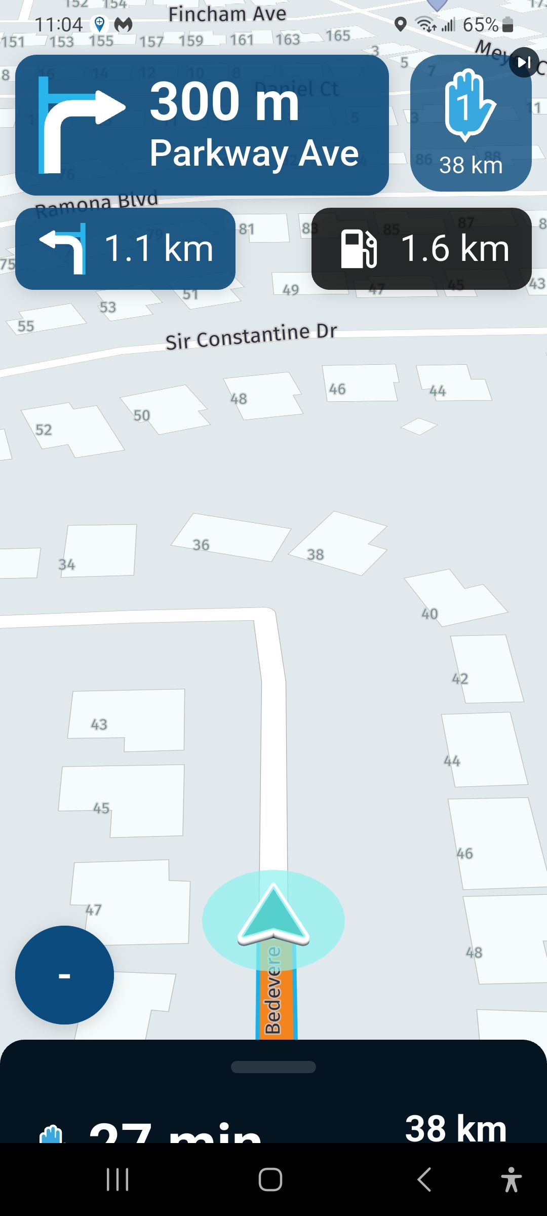
    can you just tap the screen and than open the "settings"? Yes. Setting via Car Play MyRoute-app > Settings > Cameramode > Automatic seems to mace this as 3D. But: When I do press minus or plus for zoom, it always falls back to 2D and does not go back to 3D. I need to go again into settings and choose automatic. This can't be the only way? This differes from iPhone, since there, MRA does stay on 3D when using zoom.
  • Carpuride zwart scherm

    [App] Android Auto & CarPlay
    7
    0 Votes
    7 Posts
    877 Views
    Hi, Does anyone know whether the BMW wonder wheel is able to zoom yet on the Carpuride 702BS (or Chigee or any other alternative)? Also, what advantages are there to using Android Auto, as opposed to simply letting MRA run in your phone directly? Thanks
  • High Contrast Maps

    [App] Suggestions and Discussion
    9
    2 Votes
    9 Posts
    1k Views
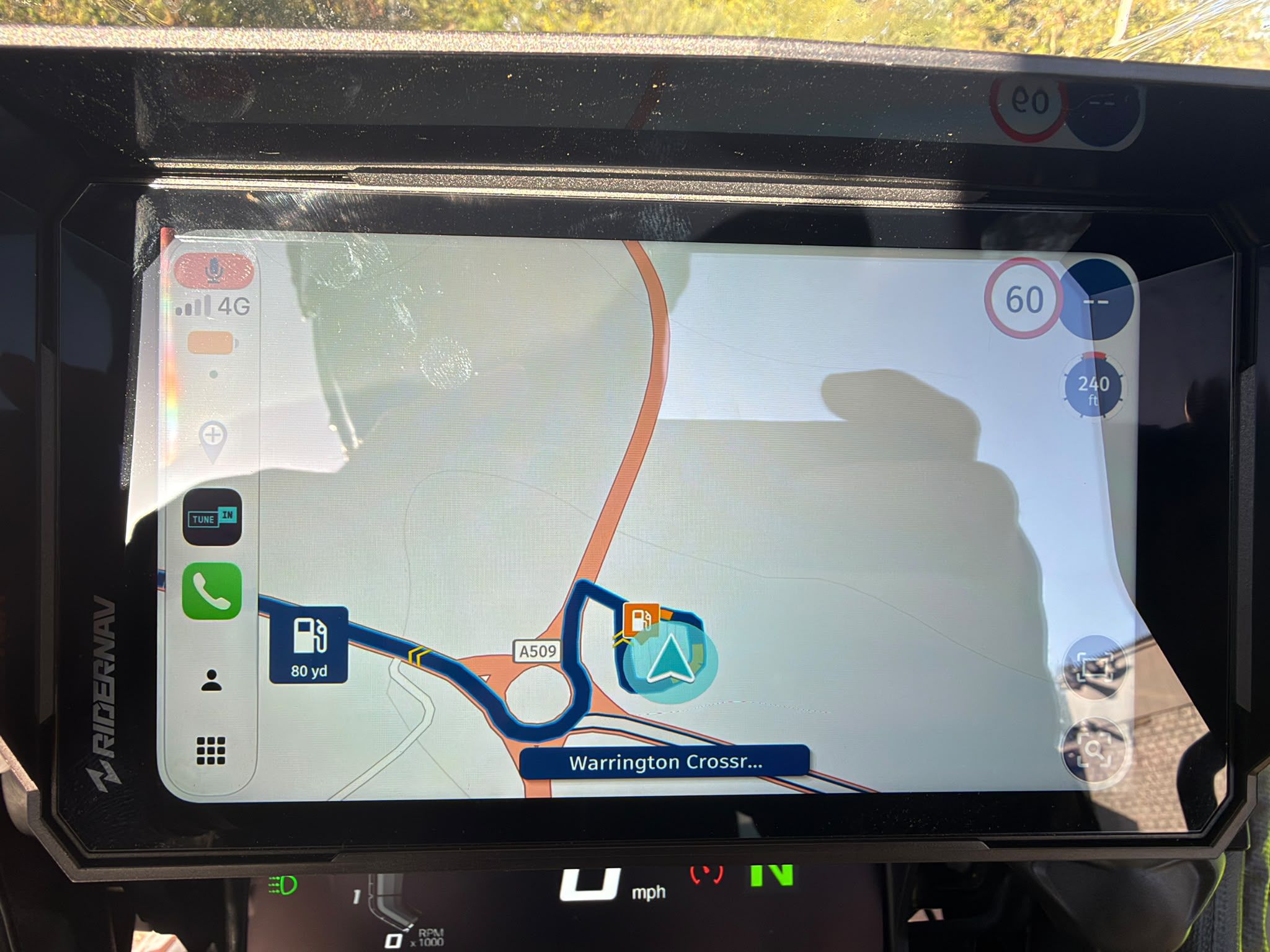
    Here is a comparison of Google maps with the Here map on MRA, despite the poor image quality the difference is obvious. The road colour doesn't need to change, just the background when out of town. [image: 1782733742243-pxl_20260629_112625063.jpg] [image: 1782733747459-pxl_20260629_112751034.jpg]
  • Skipping waypoints for no reason

    General Discussion
    5
    0 Votes
    5 Posts
    282 Views
    @RetiredWingMan said: @stuart-marritt when you stop, MRA navigation should be paused (stop navigation) and started again once you are ready to continue. The issue is that as you move around MRA thinks you are still navigating and gets confused with your movement. This is made worse with the Here map issue that spins the map around and sometimes causes the app to do recalculations. I use a separate phone that is left on the bike. The others don't and we have never had this issue before We haven't skipped any waypoints and we haven't got auto skip waypoints so why has it skipped 3 waypoints
  • 0 Votes
    3 Posts
    171 Views
    @Albert-van-den-Elsen oui , merci , ma demande est pour l'application sur ordinateur
  • 0 Votes
    5 Posts
    377 Views
    @Travellexxie said: For your peace of mind, you can use the track as a route again: change the mode of transport to bicycle check if the route is identical to the track save as GPX 1.1 import the track from the GPX file done I believe this method can only provide an accurate representation of the original track if there is a recognised track/road displayed on the map for the complete track, ie. so that those track/roads can be used by the track to route conversion algorithm. Furthermore, as far as I can tell the number of points are significantly rationalised and the detailed logging information is lost. Unless I am mistaken, this renders the resulting track of limited value. I just used the app to log the track of a short walk to a restaurant, where some of the tracks were not shown on the map (HERE terrain)... [image: 1782659988260-screenshot-2026-06-28-at-17.17.44.png]. Unfortunately, I saved it as I had done previously with transport mode Motorhome- not realising that it was nor possible to change the mode after it had been saved. While the workaround may be acceptable in some circumstances, I do not believe it is in most cases. John
  • 1 Votes
    16 Posts
    856 Views
    M.-Schrijver said: @Michel-71-0 said: Gisteren een ritje gedaan en ik moet zeggen dat de ervaring al een stuk beter was. Wat ik me nog wel afvroeg: gedurende de rit heb ik één waypoint overgeslagen omdat dit eenrichtingsverkeer was geworden. Het apparaat probeert dan eerst terug te navigeren naar dit punt, maar als je dat negeert, springt hij vanzelf over naar het volgende punt. Rechtsboven wordt dan weergegeven dat je het punt gemist hebt. Wanneer ik daarop tik, wordt er gevraagd of ik dit punt wil overslaan; ondanks dat ik op 'ja' drukte, bleef het waypoint echter de rest van de rit staan. Is dit zo "by design" of ging er iets niet goed? Nee, dit is niet "by-design" Rechtsboven moet altijd het volgende routepunt getoond worden. Doe je een correctie door handmatig een punt over te slaan, moet dit ook rechtsboven zichtbaar zijn. Dit doet mij denken aan een ander topic. Ik kan deze helaas niet meer terugvinden. Ook hier bleef het verkeerde routepunt rechtboven staan.
  • export several routes at on time

    [Export] Garmin
    2
    0 Votes
    2 Posts
    123 Views
    Hi @charles-henson, No, you don't have to export the routes one by one! Just open the list where the routes are located, select the routes you want, and click the 'Save' button at the bottom. From there, choose your desired format, and MRA will automatically create a compressed file containing all of your selected routes. [image: 1782653319129-2026-06-28_15-27-45.jpg]
  • Hi, new UK based user.

    New Users' corner
    8
    0 Votes
    8 Posts
    318 Views
    Welcome from the Netherlands @david-walter-0-0 . Enjoy your trip through the world of MRA
  • Route made through roadworks and blocked roads

    Routes & Tracks
    19
    0 Votes
    19 Posts
    1k Views
    @Metalhead said: tried to skip waypoints, but could not find how to do so. Do you meanwhile know how to skip a waypoint or start from a certain waypoint?
  • 0 Votes
    10 Posts
    458 Views
    @Hubert-Thoring The "Start at nearest waypoint" was already selected but the option "Use the actual position" it wasn't. Maybe this was the problem. By the way, following your advice, I found also that is possible select the starting point by choosing a waypoint. My bad. Thanks
  • Round trip issues

    [App] Problems, Bugs and other Issues
    1
    0 Votes
    1 Posts
    69 Views
    No one has replied
  • 0 Votes
    3 Posts
    33 Views
    L'appli a supprimé 4 point de passage sans m'avertir
  • Kompas met hoogte aanduiding.

    [Beta] Suggestions and Discussions
    12
    2 Votes
    12 Posts
    104 Views
    @Rob-Verhoeff ook een leuk idee, daar gaat het mij om, in een oogopslag zien wat je richting is zonder eerst te moeten analiseren hoe je e.e.a moet interpreteren. Daar is n.l. onder het rijden, uit veiliheids overwegingen, geen tijd voor.
  • Crashes na update

    [Beta] Problems, Bugs and other Issues
    11
    0 Votes
    11 Posts
    118 Views
    Het belangrijkste deel van het versienummer is 5.2.0 The important part of the version number is 5.2.0
  • Underwhelmed by the Route Library

    Routes & Tracks
    13
    0 Votes
    13 Posts
    2k Views
    Apologies for reviving an old thread, but I have the same frustration. Here in the USA, Texas specifically, I look for routes in the library and there are ZERO routes anywhere near me. The only route in my area is part of a "ride across America" with a segment that is 324 mile (520km) point-to-point which I am right in the middle of. Other apps have communities which share their routes, and I've followed several of these and found interesting roads, but it seems that because of the high standard requirements of RX there just aren't many routes in MRA anywhere near me. It would be nice if there was a way for the MRA community to share their own routes for others to see (and I don't mean on their own websites, because most people don't have their own website). It may not be as well curated as the RX library, but with star ratings and feedback they can be just as useful if not more so. I know this is no small thing to ask, and I'm not trying to say "it would be simple," but I think this would add HUGE value to MRA. @Adrian-Avram said: @David-Rudgley Why drive routes built by others, when you can build you own and customize them the way you want. Find an area, fix your POI's and bulid the route ... I build my own routes and customize them all the time. But some of the best routes and roads I've found have been from following other people's routes that I never would have discovered myself.
  • nav 6 route problem

    [Web] Problems, Bugs and other Issues
    4
    0 Votes
    4 Posts
    288 Views
    Maybe it's because of a WP limit to the 50 pieces ... also with the VI .., I don't have the N6 anymore. Sometimes I know a calculation was not executed in the N6. Maybe check ... choose WP under Reduce Toolkits.. as a test with a copy of the route.
  • 1 Votes
    13 Posts
    803 Views
    Oh you do fast mate But estimated time is by some basic rules, not a real time limit
  • 0 Votes
    6 Posts
    339 Views
    Top gedaan Tip maak de routes in de Here kaart en vergelijk de route met de TomTom kaart en zorg ervoor met behulp van extra shaping points op de Here dat de TomTom lijn de Here lijn volgt. Als je maat dan de route gaat rijden hier doet hij dat dan een met welke app De file die hij van jou krijgt is in ieder geval TomTom compatible
ACTIVE USERS POPULAR TOPICS MY GROUPS