Indicator arrow drifts all over the map.
-
We listen to all feedback!
Our app tries the best to lock your position on the road. However when multiple GPS coordinates start showing wrong information the app cannot decide if you are actually there or if it’s wrong information.The more wrong information it receives, the more likely the coordinates are actually correct.
Feel free to share a screen recording.
Some users having a specific issue does not ever mean it is a platform wide problem
-
I had a similar problem last weekend. This was a first time I used MRA and hoped version 4.4.0 on iPhone 15 Pro Max has fixed the most annoying bugs. Not really. Arrow was drifting (on Google Maps and Apple Maps the same time all was OK) as well as stayed behind the recording path (yellow line).
It was a long trip and I couldn't stop to fix it and app finally crashed. After crash I started it again and continued OK for some time. Then again started to behave weird. I stopped navigation and started it again and was good for 2-3h.
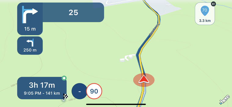
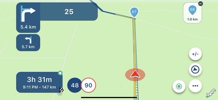
See screenshots.
@Luk4s7 what should I see in the images?
-
Yesterday I did use my ulefone x10. Did not got problem off drifting. I got problem that it was behind so I did miss a few short exits on small road. Had 2 times restart phone. Restart app and start route as track was realy slow. When it did run it did run ok. Recalculating is off but sometimes it did still like when go off to petrol station or P point. Bigger off it did not recalculate as I always want.
-
We listen to all feedback!
Our app tries the best to lock your position on the road. However when multiple GPS coordinates start showing wrong information the app cannot decide if you are actually there or if it’s wrong information.The more wrong information it receives, the more likely the coordinates are actually correct.
Feel free to share a screen recording.
Some users having a specific issue does not ever mean it is a platform wide problem@Corjan-Meijerink said in Indicator arrow drifts all over the map.:
We listen to all feedback!
Our app tries the best to lock your position on the road. However when multiple GPS coordinates start showing wrong information the app cannot decide if you are actually there or if it’s wrong information.The more wrong information it receives, the more likely the coordinates are actually correct.
Feel free to share a screen recording.
Some users having a specific issue does not ever mean it is a platform wide problemWhen running behind or eating progress line is behind of in front it must be not a gps problem? I think that is rendering problem because it is not always and often it start after a while using the app.
-
A few weeks ago i did a route with MRA which has a few short tunnels. When i leave these tunnels. The GPS indicator was still at the start of the tunnel. After a few hunderd meter the GPS position was back on track.
Yesterday i used HereWeGo for A to B route with also a tunnel. Also HereWeGo had troubles with the tunnel.Both rides where done with different vehicles and different phones.
(I use MRA Next only on Android Auto. Every comment, suggestion, etc will be based on my usage with Android Auto)
-
Would it work better if when you were in "offline" maps if made the arrow just follow the route? Could you not use GPS on your device when in "offline" maps? Seems in my mind, using offline maps is because you are already worried about having good signal. Just a thought!!!
-
Offline mode is only related to cellular service, not GPS.
Enabling offline mode is smart when internet connection is poor to optimise map loading / recalculations / stability to rule out searching for internet. Offline mode does not influence GPS updates.
-
Your GPS position on your screen is already heavily influenced by the software. That is why this issue is a software problem not really an GPS reception problem.
(I use MRA Next only on Android Auto. Every comment, suggestion, etc will be based on my usage with Android Auto)
-
Your GPS position on your screen is already heavily influenced by the software. That is why this issue is a software problem not really an GPS reception problem.
@M.-Schrijver, You really think no GPS signal due to tunnels is a software problem...
-
No. How the indicator moves on your screen is a software thing.
The GPS reception data is the same for al navigation apps but how we see it on our phone screen is all software. That's why you read messages where people states that MRA has issues with GPS position and other apps don't. -
A few weeks ago i did a route with MRA which has a few short tunnels. When i leave these tunnels. The GPS indicator was still at the start of the tunnel. After a few hunderd meter the GPS position was back on track.
Yesterday i used HereWeGo for A to B route with also a tunnel. Also HereWeGo had troubles with the tunnel.Both rides where done with different vehicles and different phones.
@M.-Schrijver Hmm, odd, i was driving in a tunnel of about 3 km and MRA did a good job of following the route. I had to exit at 800 meters out of the tunnel and it worked great for me. I was “online” at that time.
-
@M.-Schrijver Hmm, odd, i was driving in a tunnel of about 3 km and MRA did a good job of following the route. I had to exit at 800 meters out of the tunnel and it worked great for me. I was “online” at that time.
@ErikMatthezing some tunnels have a service that makes it possible to have GPS and internet reception. Others, most of them, don't. If you marker kind of kept up with your actual position could be that is was a calculated guess of MRA where you could be in the tunnel. My guess is that that tunnel didn't have a service as I stated and you lost the actual connection outside of the tunnel and it took 800 meters to detect 3 or more satellites
-
All apps try to simulate the same behavior.
I've seen MRA work, I've seen it fail in tunnels.
The same for Google Maps, Waze and an XT2
-
Most scenic route tunnels don't have fallback for GPS and cellphone.
Tunnels are normally known on the maps. And it is known GPS signal is gone in tunnels. So the software must take over. Every software has it own way of doing this. Mostly the software expects you drive at a constant speed through a tunnel and after leaving the tunnel (according to the map) they stay on this course for a while. In the mean time, the software tries to find the GPS signal again and links to the GPS again for a more accurate postion. -
Now back and had no drifting arrow. as said before i had an arrow that in 25% of the time was behind. i did test today on other app and no problems. if it was behind i had to restart the app.
i use offline and no recalculation.an other thing that seems not to work is starting a track in offline mode.
-
I have the same problems with the "arrow behind" case. Well not only arrow but also the navigation itself.
"In 400 meters turn right", a split second later "turn right now"...Met andere apps maak je een route, met MRA componeer je een route!
Ducati Monster 1200 met Garmin Zümo XT
Fiat 124 Spider/Camper Dethleffs met Navigation-App op Samsung Tab Active4 Pro
MRA Lifetime Gold -
I have the same problems with the "arrow behind" case. Well not only arrow but also the navigation itself.
"In 400 meters turn right", a split second later "turn right now"...@Lex.Kloet.RX said in Indicator arrow drifts all over the map.:
I have the same problems with the "arrow behind" case. Well not only arrow but also the navigation itself.
"In 400 meters turn right", a split second later "turn right now"...when it is behind i get message on the crossing so to late. but as i said it is not always behind. also i have no other gps apps running and also no tracking.
-
This lagging is also visible in the tracklog. Less trackpoints and thus more straight lines.
-
just go replay from support. it can be that driving navigate route as track is giving problems when it is behind. there advice is to use only route if this happens and look if it then is ok. i will try that. for me this options saves a lot of time to make route precise on here map. but if this works it is for me ok.
Hello! It looks like you're interested in this conversation, but you don't have an account yet.
Getting fed up of having to scroll through the same posts each visit? When you register for an account, you'll always come back to exactly where you were before, and choose to be notified of new replies (either via email, or push notification). You'll also be able to save bookmarks and upvote posts to show your appreciation to other community members.
With your input, this post could be even better 💗
Register Login-
012205
-
2416
-
09774
-
010202
-
0464
-
1413248
-
-4361.0k
-
0299