-
-
-
-
-
-
-
-
-
-
-
-
-
-
-
-
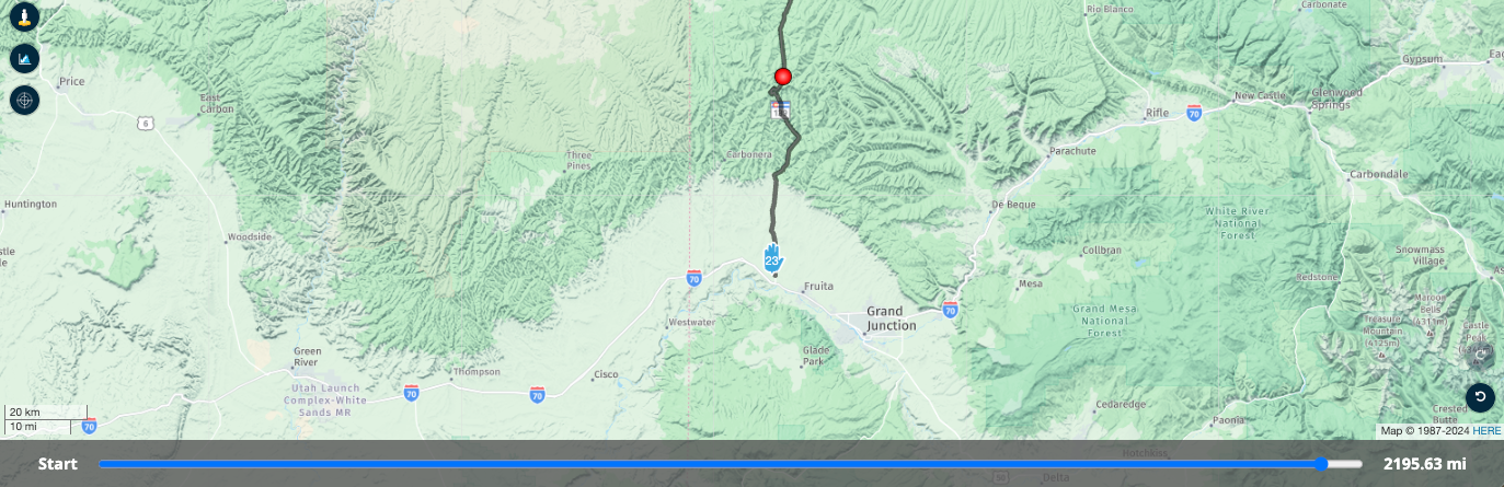
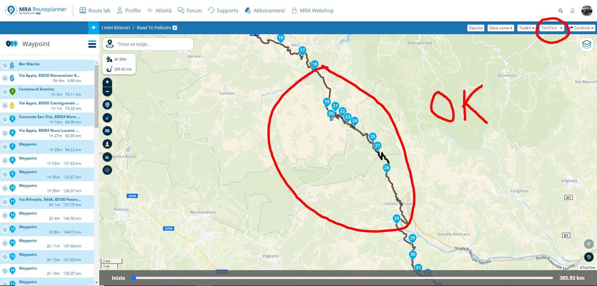
route maken via omwegen
Moved -
-
-
-

ACTIVE USERS
 undefined
 undefined
 undefined
 undefined
 undefined
undefined
undefined
 undefined
 undefined
 undefined
 undefined
 undefined
 undefined
 undefined
undefined
POPULAR TOPICS
MY GROUPS
undefined
undefined
undefined
POPULAR TOPICS
MY GROUPS
Corjan Meijerink
Hubert Thoring
Nick Carthew
Marinus van Deudekom
Stevedo 6 0
Jomar59
Peter Zehentreiter
Martin White
Lenny O
Aiello antonino
Rob Verhoeff
RetiredWingMan
PieterG
John S Parry
Herman Veldhuizen