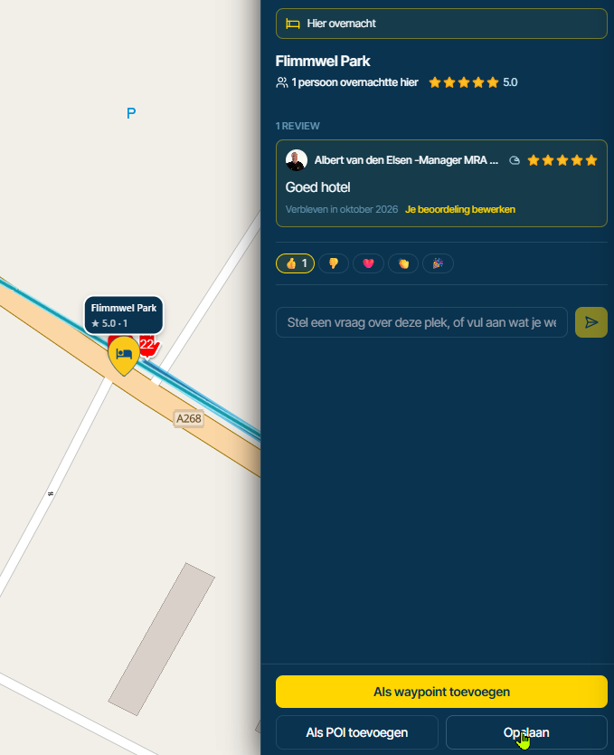
Shaping points and Via points
-

i also looked at beeline. beeline is better is follow the plan you made. MRA is better to plan. MRA Next has many good point but also to many functions and some main function like how to deal with track and gpx file or skipping shaping point or follow the route when back on the route you planned are in my opinion not perfect. I hope in planning of future development.
-
@Herman-Veldhuizen, by no means I meant to imply you being a complainer, hence the addition of the word "constructive!" as in "opbouwende kritiek" in Dutch. I think your way of usage is interesting for sure but probably not practised a lot, not by the target audience anyway. It could be a future expansion perhaps, but in that case indeed probably as an extra licence (more as a logistics solution). I don't think however that is something MRA is willing to spent time on at the moment. For sure not until the new web planner is live and bug free.
@Martin-Wilcke said in Shaping points and Via points:
When navigating "Routes as tracks", all waypoints (SPs and VIAs) should be skipped automatically, as this is how track navigation works.
That is a bit strange, since the one-and-only function of a VIA point is that it cannot be skipped automatically
 . How track navigation works is without any route points at all.
@Con-Hennekens said in Shaping points and Via points:
since the one-and-only function of a VIA point is that it cannot be skipped automatically
Hence, my suggestion for a change.
When navigating a track, there are two common concepts to lead you back in case of a deviation:
-
to the point where you left the track
-
to the most logical point in the forward direction
There might be additional "points" (waypoints, POIs, whatever) along the track; however, they are informational only (may be announced) and do not influence the navigation.
This concept is becoming increasingly popular, and it would be a good idea to implement it in MRA as well.
-
-
@Con-Hennekens said in Shaping points and Via points:
since the one-and-only function of a VIA point is that it cannot be skipped automatically
Hence, my suggestion for a change.
When navigating a track, there are two common concepts to lead you back in case of a deviation:
-
to the point where you left the track
-
to the most logical point in the forward direction
There might be additional "points" (waypoints, POIs, whatever) along the track; however, they are informational only (may be announced) and do not influence the navigation.
This concept is becoming increasingly popular, and it would be a good idea to implement it in MRA as well.
@Martin-Wilcke said in Shaping points and Via points:
- to the most logical point in the forward direction
This seems like an interesting point to me:
When following a track, you follow a line.How does the program know what the next point is, i.e., the direction you want to go?
I believe a program can only calculate the nearest point, and unfortunately, that can also be in the wrong direction. -
-
@Martin-Wilcke said in Shaping points and Via points:
- to the most logical point in the forward direction
This seems like an interesting point to me:
When following a track, you follow a line.How does the program know what the next point is, i.e., the direction you want to go?
I believe a program can only calculate the nearest point, and unfortunately, that can also be in the wrong direction.
@BertM said in Shaping points and Via points:
How does the program know what the next point is, i.e., the direction you want to go?
Trackpoints <trkpt> do have a specific order, and therefore a track <trk> has a direction. "Forward direction" means "Track forward direction".
-
@BertM said in Shaping points and Via points:
How does the program know what the next point is, i.e., the direction you want to go?
Trackpoints <trkpt> do have a specific order, and therefore a track <trk> has a direction. "Forward direction" means "Track forward direction".
@Martin-Wilcke said in Shaping points and Via points:
@BertM said in Shaping points and Via points:
How does the program know what the next point is, i.e., the direction you want to go?
Trackpoints <trkpt> do have a specific order, and therefore a track <trk> has a direction. "Forward direction" means "Track forward direction".
But you are not ON the track... your outside the track.
Lets assume you left the track on point 3, and now you near point 6, how does the app knows your best point to enter is 7 instead of 6? -
@Martin-Wilcke said in Shaping points and Via points:
@BertM said in Shaping points and Via points:
How does the program know what the next point is, i.e., the direction you want to go?
Trackpoints <trkpt> do have a specific order, and therefore a track <trk> has a direction. "Forward direction" means "Track forward direction".
But you are not ON the track... your outside the track.
Lets assume you left the track on point 3, and now you near point 6, how does the app knows your best point to enter is 7 instead of 6?
From what I've experienced, the route back to the track is calculated as if you were planning a route—and in fact, some programs do exactly this: the track remains unchanged, and an additional route is generated.
Of course, I don't know the exact program logic, but I imagine it works like this:
-
First, various entry points are determined (i.e., points where a routable path intersects the track), possibly as an initial approximation based on the straight-line distance.
-
Then the resulting routes are calculated based on an explicit or implicitly assumed routing profile (fast, short, winding, etc.).
-
The result that best matches the profile specifications is then used to generate the route back to the track
-
-
-
I understand your point and
- to the most logical point in the forward direction
is the key:
You are going in the direction of the original track, so the heading is importent for calculation.
If you made a u-turn it will send you back to the point where you came from. -
I understand your point and
- to the most logical point in the forward direction
is the key:
You are going in the direction of the original track, so the heading is importent for calculation.
If you made a u-turn it will send you back to the point where you came from.
@BertM said in Shaping points and Via points:
If you made a u-turn it will send you back to the point where you came from.
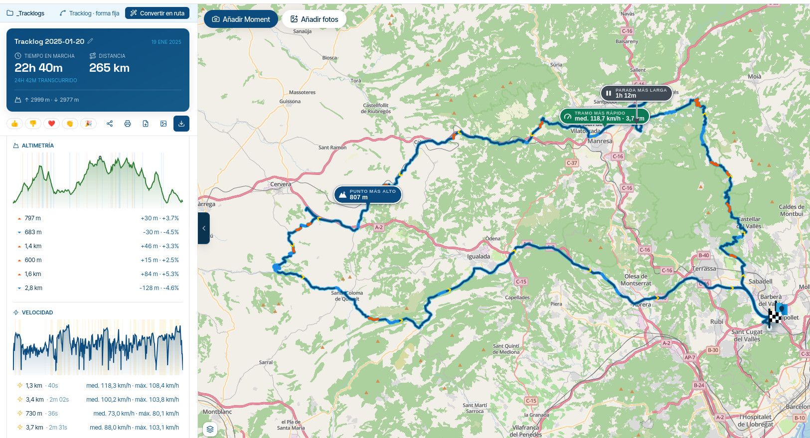
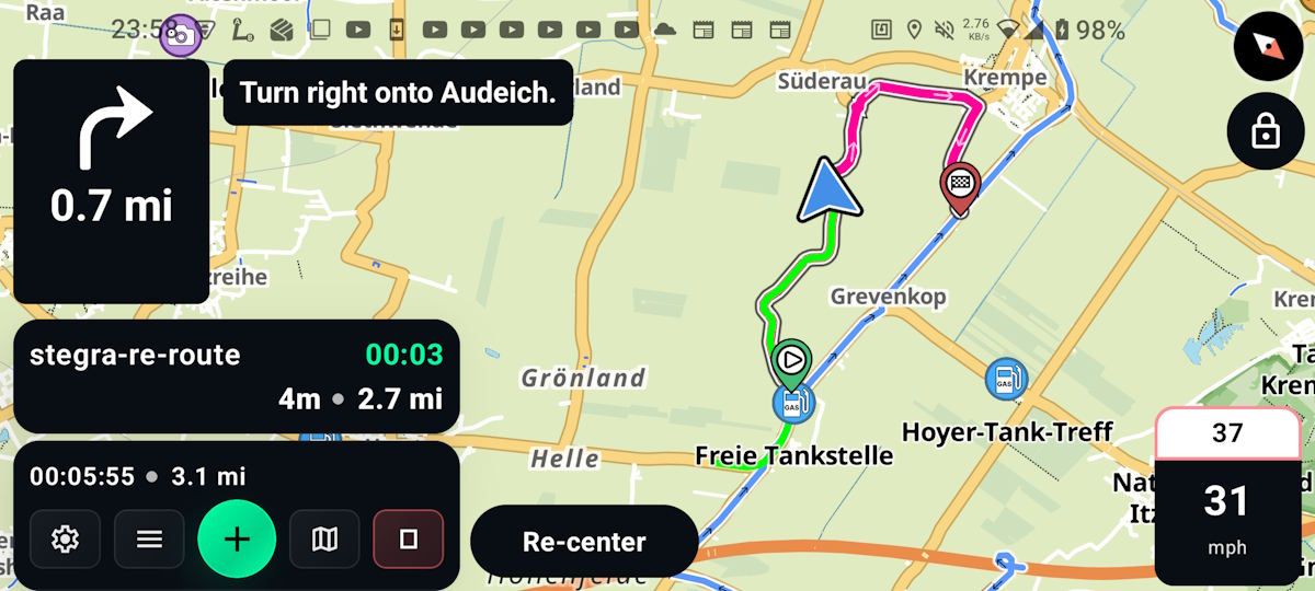
In the example above with Stegra.io?
No. As I'm currently navigating an A-B route, a U-turn or deviation from the route will force a recalculation, and the algorithm will always lead me to the route endpoint, the intersection with the track.
As soon as I reach this point, route navigation mode will stop, and track navigation mode will automatically take over, providing TBT instructions based on the track.
DMD works the same way.
-
How about a compromise? Ask the developers to add an option in settings to specify on a given route how close to waypoint is close enough to move on. The figure is already hard-coded in the navigation software at somewhere around 25 meters, but I suggest making it dynamic. Even 25 meters can be too much in a medieval city center and 500 meters is more than enough on rural back roads.
-
How about a compromise? Ask the developers to add an option in settings to specify on a given route how close to waypoint is close enough to move on. The figure is already hard-coded in the navigation software at somewhere around 25 meters, but I suggest making it dynamic. Even 25 meters can be too much in a medieval city center and 500 meters is more than enough on rural back roads.
@Paul-Smith-3 This would just move but not solve the problem that the app can send you backwards on the track.
-
Those who navigate a route as track do that because they prefer the stability of a track. My guess is that these users also have the auto recalculation setting to Off.
For me it would be a massiv improvement if the app would only offer navigation ON the track and not TO the track (but with the ETA info to the points ahead of me).
And this is maybe the easiest part to get right. -

When we go off track and the system deicides to give us a reroute to the wrong waypoint why not have some way of the app allowing us to choose
the entry waypoint back to the track. Maybe a message' select waypoint for return to route' whilst displaying our position and the nearest 2 waypoints. -
When we go off track and the system deicides to give us a reroute to the wrong waypoint why not have some way of the app allowing us to choose
the entry waypoint back to the track. Maybe a message' select waypoint for return to route' whilst displaying our position and the nearest 2 waypoints.
@Flyingstoo simply display the route and long press on the waypoint you want to return to.

Hello! It looks like you're interested in this conversation, but you don't have an account yet.
Getting fed up of having to scroll through the same posts each visit? When you register for an account, you'll always come back to exactly where you were before, and choose to be notified of new replies (either via email, or push notification). You'll also be able to save bookmarks and upvote posts to show your appreciation to other community members.
With your input, this post could be even better 💗
Register Login

-
 159
159
-
 0612
0612
-
 0524
0524
-
 0415
0415
-
 2487
2487
-
 0522
0522
-
0313
-
026