Skip to content

Routes & Tracks

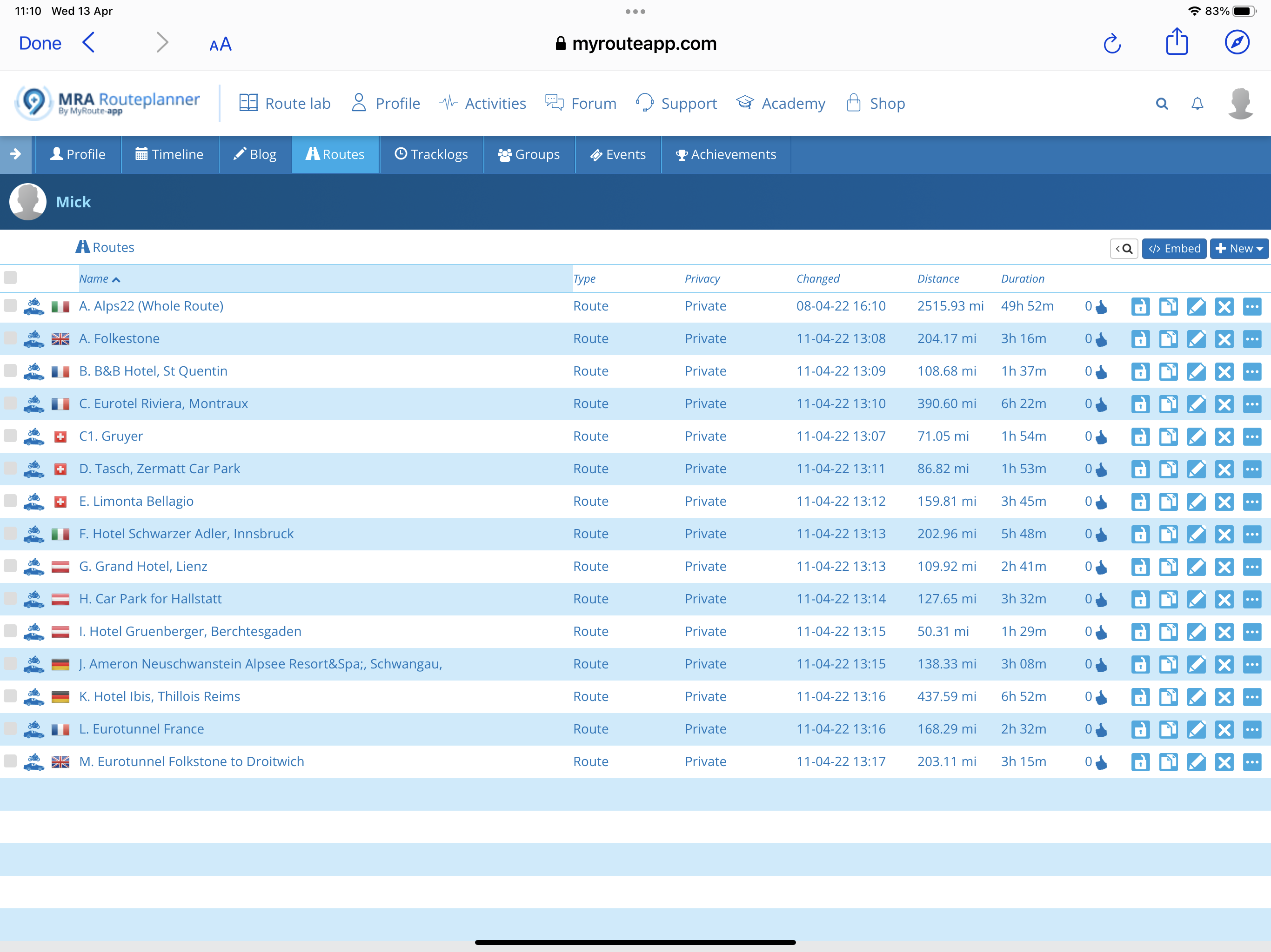
Here you can share your favorite routes & tracks for others to use

368 Topics 2.3k Posts
  • Linking route files

    3
    0 Votes
    3 Posts
    184 Views
    @srinivasan-sampathkumar See this support page for some more details.
  • tips and routes from Porto to Amsterdam

    2
    0 Votes
    2 Posts
    124 Views
    @lucien-valvekens Heb je al in de RouteXpert bibliotheek gezocht?
  • MRA Navigation Ofline Karten auf Speicherkarte schieben

    2
    0 Votes
    2 Posts
    121 Views
    @norbert-uckelmann Sorry habe ich doch gefunden.
  • Tracking via app op Android 11 werkt niet als scherm gelocked is

    6
    0 Votes
    6 Posts
    317 Views
    De tracking werkt nu weer ! Ik weet niet of het een versie van MyROUTE app is geweest (laatste versie is 2.6.1 van 2 september 2021, maar ik heb deze niet geprobeerd) of een nieuwe versie van Android (welke zich installeerde deze week).
  • Change to miles

    2
    0 Votes
    2 Posts
    241 Views
    @chris-wise Go to your account and switch from metric to imperial. [image: 1638045072803-img_4277.jpeg]
  • Beim Routen wird die A94 nicht berücksichtigt?

    15
    0 Votes
    15 Posts
    369 Views
    @jack-van-tilburg Es freut mich, dass das Problem bei Dir geelöst ist.
  • Search Routes in Left Side Bar Menu

    9
    0 Votes
    9 Posts
    426 Views
    @nick-carthew Thanks a lot Nick!
  • Startlokatie automatisch het huisadres?

    6
    0 Votes
    6 Posts
    284 Views
    @marten-wiersma inderdaad, zelfde aanpak hier
  • The Dingle Peninsula route

    13
    0 Votes
    13 Posts
    653 Views
    @Nick-Carthew Will do, and again, Thanks for you help.
  • Connector issues with ITN format into TomTom

    4
    0 Votes
    4 Posts
    243 Views
    Problem resolved. I reset my TomTom to factory settings, restarted, reimported the routes and bingo! No problem.
  • Route aanpassen snelweg vs binnendoor

    15
    0 Votes
    15 Posts
    2k Views
    @Con-Hennekens said in Route aanpassen snelweg vs binnendoor: Dat is natuurlijk correct, maar dat soort routerings-instellingen aan hebben staan wordt sowieso sterk afgeraden! Precies dat dus! Die routerings-instellingen die in een MRA route zitten worden toch überhaupt niet meegegeven in de export naar het device? In de losse .gpx files sowieso niet, maar er staat me iets bij dat bij via de Connector van MRA deze wel meekomen? Ikzelf weet dat niet want ik gebruik MRA Nav en ben direct daarmee ingestapt Inderdaad, dat heef Yvette niet gezegd... Ik ben er al zó aan gewend dat het een vanzelfsprekende aanname wordt Daar betrap ik mijzelf ook regelmatig op haha!
  • Garmin

    8
    0 Votes
    8 Posts
    895 Views
    @Phil-Beharrell If you get straight lines, alter route to curvy roads, let it recalculate, then change it back to faster route, or visa versa, works for me on my BMW NAV VI ( Garmin ) Motorcycle satnav
  • Zoom increments

    3
    0 Votes
    3 Posts
    246 Views
    For me it doubles/halves each zoom out/in
  • 0 Votes
    3 Posts
    228 Views
    @Hans-van-de-Ven-MRA-Master Thanks Hans, As the main focus of the route is a motorcycle route I doubt that many of the end users will have a device that can track off road walking paths. This is just a short 10 to 15 minute walk so I am going to provide it as an image on YouTube. I used OSM to plot the route in Offroad mode using footpaths and used the Google overlay. [image: 1631638757918-b7033b3b-16d4-4654-afa7-cec6b6ecf16b-resized.png]
  • Edit tracklog, korter maken?

    4
    0 Votes
    4 Posts
    218 Views
    Ik heb geen weet dat MRA dat kan, maar BaseCamp (vrij installeerbaar, maar dan weliswaar zonder het Garmin kaartmateriaal) kan dit makkelijk doen. Aangezien editeren nogal moeilijk is zonder kaartmateriaal kun je in BaseCamp dan eventueel wel OpenStreetMap kaartmateriaal (downloaden, installeren en) gebruiken.
  • OSM versus HERE vormingspunten plaatsen

    4
    0 Votes
    4 Posts
    236 Views
    Ik denk dat het alleen op de Here kaart niet in de route opgenomen kan worden. Je zou er voor kunnen kiezen om twee extra punten te plaatsen en dan bij de tweede in de eigenschappen te kiezen voor "Overslaan". Ter plekke kun je dan zien wat je kunt doen. Omrijden is niet zo moeilijk daar [image: 1630419376140-schermafbeelding-2021-08-31-om-16.12.30.png]
  • Riding a track on Zumo XT

    3
    0 Votes
    3 Posts
    794 Views
    @Alain-a On the XT and in the XT manual they no longer use the word “Journey” at all. If you use the export option .GPX 1.1 (Beta, Route, Track, POI) in conjunction with the Garmin Drive App it will automatically create a route in the Trip Planner App on the XT with full directions visible and audible. It will also give you the track in Explore on the XT. Often people will advise that you make the Track visible on the map so that if there are any road closures you can visually follow the Track to get you back onto the route. (I am now going to use this as you will see mentioned further below) However as far as I can see this requires that you place the track in a collection but again as far as I know there is no way to create a Collection directly on the XT. You have to use the Explore Website (Not the Explore App) and you must have the Garmin Drive App open as well for the Collection to transfer to the XT. You can then add the Track to this Collection and display the Track on the Map. It all seems very clunky and convoluted of Garmin to have us jumping through hoops like this just to get a Collection onto the XT so if anyone knows a way to directly add a Collection on the XT please do let us know. My personal preference is to place at least 1 shaping point (I never use Via Points) on every single road that I wish to travel on. This ensures that my route stays exactly as I want it without Garmin deciding “Hey go this way it can save you 15 Minutes”. In the first couple of months of doing this it was flawless in getting me back to the route if I came across a road closure, but recently, for whatever reason it has occasionally instigated some “Make a U-Turn” prompts. I am still trying to work out how to reliably skip x amount of Shaping points on the XT. To resolve these issues in the mean time, I just zoom the map out and visually find a way back to the route by memory. I think I will start adding the Track to a collection for all my routes until I work out how to avoid these strange and sometimes unecassary U-Turn prompts. Tracks do have another purpose though for Off Roading on UK Green Lanes. Particularly if you are in an area were there are lots of BOATS (Byways Open to All Traffic) but also Bridleways that vehicles cannot go on. (I have accidentally gone on a Bridalway a couple of times ) Here’s an example of Salisbury Plains on the XT with only the BOAT’s visible in a Single Collection of 70+ green lanes. You don’t get any prompts at all you just visually follow the tracks. [image: 1630049833049-salisbury-plain-resized.jpg]
  • Tussenpunt bij rondrit

    2
    0 Votes
    2 Posts
    194 Views
    @Ruud-van-den-Langenberg Yes. [image: 1629641544132-aaac0f78-932b-4e20-98b4-fdeb98c92f31.jpeg]
  • POI in Tom Tom

    7
    0 Votes
    7 Posts
    720 Views
    @Vliegen-Eric De POI’s opslaan als mijn plaatsen of favorieten in je TomTom. Even googelen op POI’s opslaan op TomTom
  • Exportieren einer Route auf Garmin Zumo 550

    41
    0 Votes
    41 Posts
    4k Views
    Erstmal Danke an alle. Habe fast alle Vorschläge ausprobiert, will nicht. Kann im Moment nicht weiter forschen, da Navi defekt. Sollte ich es irgendwie schaffen, werde ich Bescheid sagen.
ACTIVE USERS POPULAR TOPICS MY GROUPS