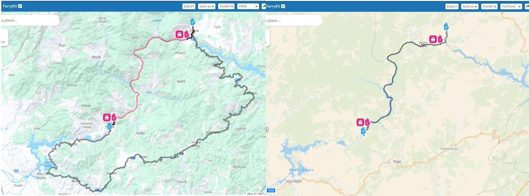
I did some more tests and probably figured out what was going on. Here are my thoughts:
When creating a route with the web planner, the calculated result is supplemented with "hidden shaping points" (similar to the GPX 1.2 format) to store and preserve its shape. An imported track (route track) gets its shape from the (typically huge amount of) track points.
Let's call this the "original shape".
Opening such a route or track with the navigation app shows its original shape as a preview.
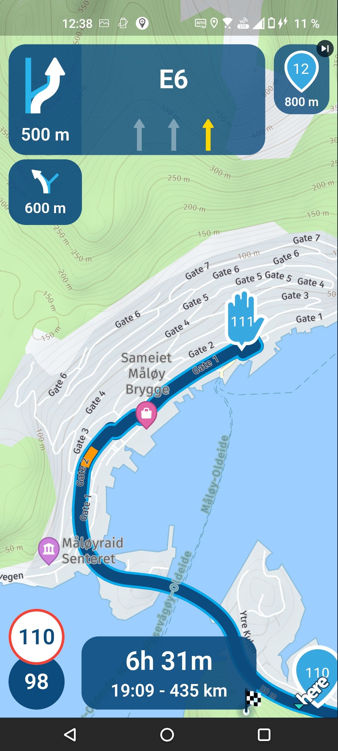
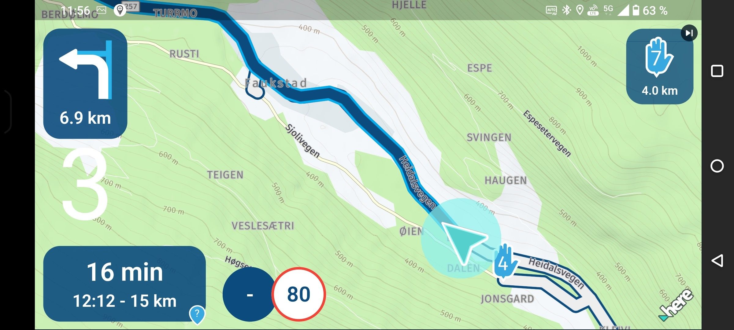
When starting navigation, the original shape is drawn on the map as a white line. On top of it, a route will be calculated using strictly HERE data that follows the original shape as closely as possible. The result is drawn as a blue line.
If white and blue match, we see just a blue line; otherwise, both. If a part of the blue lines deviates too far from the white line, it will be cut and replaced by a straight line.
The same happens when deviating during the navigation: the blue line will be recalculated and leads back (or close) to the white line.
All turn indications refer to the blue line, not the white line.
So, we are not navigating a pre-calculated route or track; we are actually navigating a route that is calculated on top of it and is always based on HERE data.
I'm curious about any feedback. Am I right? Or, if wrong, what's then going on?