-
-
-
-
-
-
-
-
-
-
-
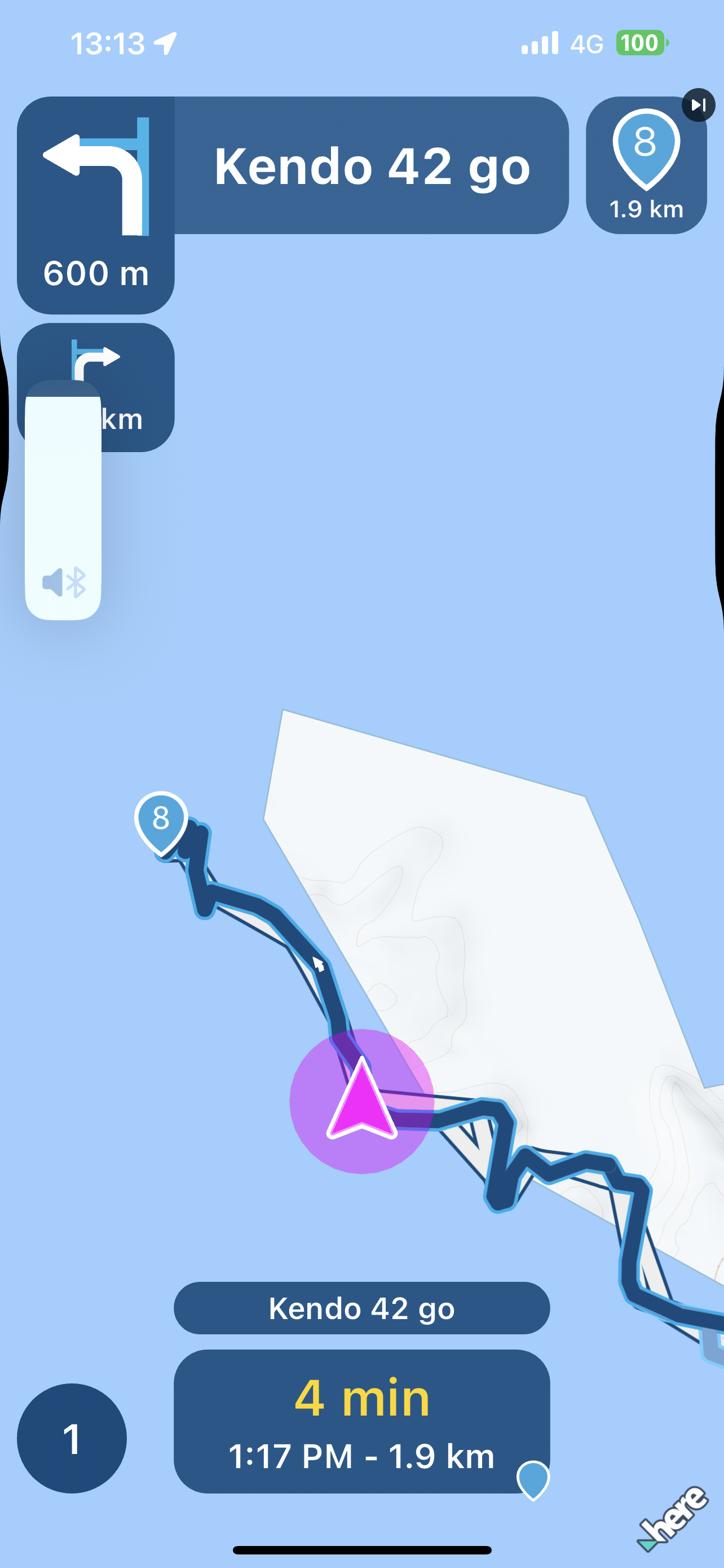
Plöckenpass
Locked -
-
-
-
-
-
-
-
-

ACTIVE USERS
 undefined
 undefined
 undefined
 undefined
undefined
undefined
 undefined
undefined
undefined
 undefined
undefined
undefined
 undefined
 undefined
undefined
undefined
 undefined
 undefined
 undefined
POPULAR TOPICS
MY GROUPS
undefined
POPULAR TOPICS
MY GROUPS
Massimo Cardone
Corjan Meijerink
Martin Garand
Nick Carthew
stuart marritt
Marinus van Deudekom
Rob Veerman
Peter Zehentreiter
Richard White 3 0
Roland Busenhart
Hubert Thoring
Andries
RetiredWingMan
Adrian Avram
Dave J 0