Openstreetmaps instead of Here maps
-
@Henk-de-Wit-1 we wish to add different map layers later on
")
@Corjan-Meijerink Hi Corjan, I'm trying hard to stick with MRA Navigation but really don't like the HERE Maps, lack of detail, blue colour. I note that you've stated another map will be available, presumably OSM. Please can you comment on timing. Thank you
-
i also have problems with here colors. specialy with track line that is white. my solution is sometimes that i use osmand or kurviger v1 app on my android phone. both use osm offline maps. and both you can change color of route and track line.
-
We will investigate the possibility of adding custom map styles to HERE
This is something I will take a look at around March. -
i also have problems with here colors. specialy with track line that is white. my solution is sometimes that i use osmand or kurviger v1 app on my android phone. both use osm offline maps. and both you can change color of route and track line.
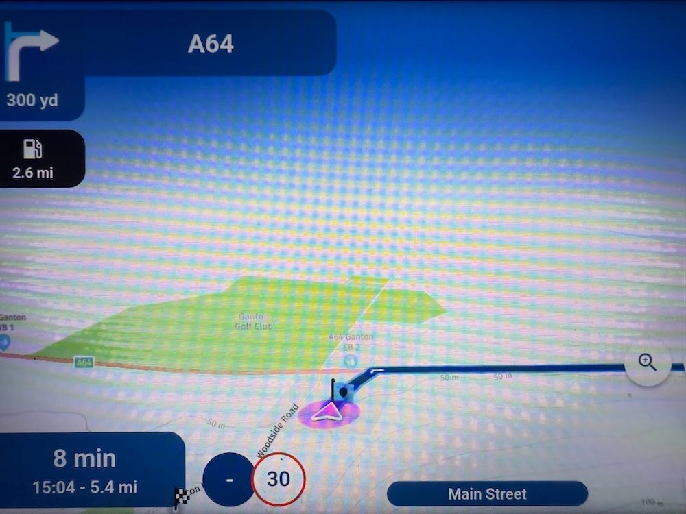
I admit, I have thought for a long time "why are all these people nagging about the HERE map colors, ain't that totally irrelevant".
But now I actually had a look at the here map in the planner and indeed: this is a whole new dimension of uglyness compared to Google and TomTom Default.
Zooming in makes it better though
It is not difficult, it is easy, it's a hobby
-
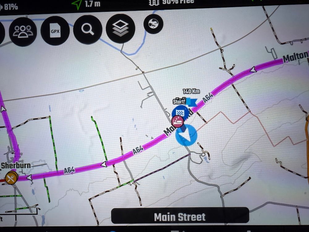
Yes, I really wonder what their motivation was at HERE to de-detail the already detail lacking map...
-
I admit, I have thought for a long time "why are all these people nagging about the HERE map colors, ain't that totally irrelevant".
But now I actually had a look at the here map in the planner and indeed: this is a whole new dimension of uglyness compared to Google and TomTom Default.
Zooming in makes it better though
@Drabslab said in Openstreetmaps instead of Here maps:
I admit, I have thought for a long time "why are all these people nagging about the HERE map colors, ain't that totally irrelevant".
But now I actually had a look at the here map in the planner and indeed: this is a whole new dimension of uglyness compared to Google and TomTom Default.
Zooming in makes it better though
With sun on the phone it is harder to see. i also have my tt so i will manage but i like to see the track and it is not always easy. with alternative like osmand or kurviger it is better to see in some situation.
-
We will investigate the possibility of adding custom map styles to HERE
This is something I will take a look at around March.@Corjan-Meijerink Hello Corjan was the plan to have more contrasting colours scrapped? I love using My Route App for planning routes but struggle with the contrast when using on my Motorbike. Still hoping this is something this going to happen.
-
@Corjan-Meijerink Hello Corjan was the plan to have more contrasting colours scrapped? I love using My Route App for planning routes but struggle with the contrast when using on my Motorbike. Still hoping this is something this going to happen.
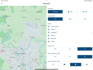
@Jay-Salvo There are options for different colours for the maps under ‘Navigation Settings’, ‘Map Layer’ and then select ‘Map Style’ at the top. Three main styles which can be changed further:
Kind Regards. Help where I can.
Ducati Multistrada V4 Rally
iPhone 15 Pro
CHIGEE AIO-6 LTE
Google Pixel 6 Pro - mounted on SP Connect Plus
Ex Garmin XT2 and XT1 as well as Ex TomTom Rider User -
@Jay-Salvo There are options for different colours for the maps under ‘Navigation Settings’, ‘Map Layer’ and then select ‘Map Style’ at the top. Three main styles which can be changed further:
@Dave-J-0 Hi Dave Im referring to the track colour, in the MRA its blue, in other apps its higher contrast or you can choose an entirely different colour.
Hello! It looks like you're interested in this conversation, but you don't have an account yet.
Getting fed up of having to scroll through the same posts each visit? When you register for an account, you'll always come back to exactly where you were before, and choose to be notified of new replies (either via email, or push notification). You'll also be able to save bookmarks and upvote posts to show your appreciation to other community members.
With your input, this post could be even better 💗
Register Login-
7903.6k
-
017224
-
737481
-
317978
-
0214
-
0227
-
121622
-
0399