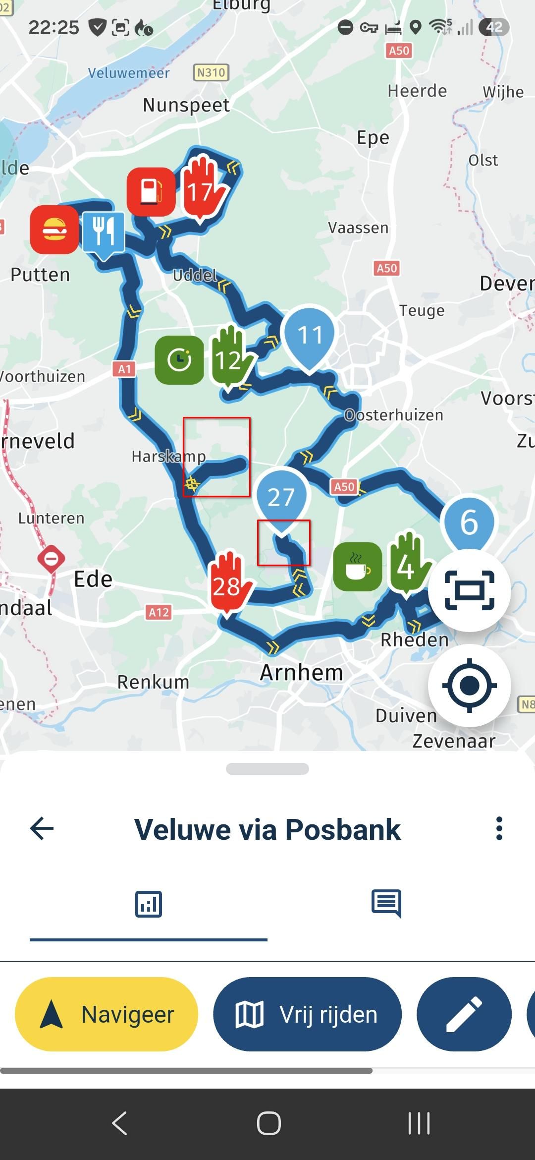
elevation profile of the course
-
is it possible to see elevation profile of the course?
if not - would be great in the future -
is it possible to see elevation profile of the course?
if not - would be great in the futureHello @Lisi-Mayr.
With a Gold membership there are many map overlays to use to help plan a route. One of these is the Open Cycle Map, this has contour lines spaced at 10m increments to give an accurate elevation reading.
I think a scale with the route elevation profile is planned for the future. -
We've talked a lot about elevation and really want to add it, it's one of the top features of the "want very much" list. Sadly, the "want very much" list is incredibly long and subordinate to the "If this breaks we all die so we must fix this yesterday" list.
That said, as Nick pointed out we have some features such as the Open Cycle Map that allow you to see static elevation information.
-
We've talked a lot about elevation and really want to add it, it's one of the top features of the "want very much" list. Sadly, the "want very much" list is incredibly long and subordinate to the "If this breaks we all die so we must fix this yesterday" list.
That said, as Nick pointed out we have some features such as the Open Cycle Map that allow you to see static elevation information.
@Timo-Martosatiman-MRA
Why don't you let us vote on the priorities for the long "want very much list", unless of course when you already have a clear idea of implementation order?
It is not difficult, it is easy, it's a hobby
-
@Timo-Martosatiman-MRA
Why don't you let us vote on the priorities for the long "want very much list", unless of course when you already have a clear idea of implementation order?
@Callewaert-Francky I wrote my response in this seperate thread since we would get very much off topic otherwise!
https://forum.myrouteapp.com/topic/41/elevation-profile-of-the-course
-
is it possible to see elevation profile of the course?
if not - would be great in the future@Lisi-Mayr Have you seen this https://forum.myrouteapp.com/topic/80/a-new-feature
I told you it would be coming soon.
Always willing to help if I can.
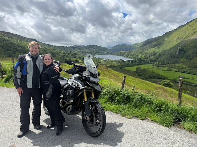
Triumph Tiger 1200 XRT called Tina.
MRA Navigation Next and SilverFox BJ8 -
@Lisi-Mayr Have you seen this https://forum.myrouteapp.com/topic/80/a-new-feature
I told you it would be coming soon.@Nick-Carthew-RouteXpert nice

Hello! It looks like you're interested in this conversation, but you don't have an account yet.
Getting fed up of having to scroll through the same posts each visit? When you register for an account, you'll always come back to exactly where you were before, and choose to be notified of new replies (either via email, or push notification). You'll also be able to save bookmarks and upvote posts to show your appreciation to other community members.
With your input, this post could be even better 💗
Register Login-
011145
-
-436963
-
010180
-
1313232
-
0101.3k
-
08739
-
03104
-
0498