Distance along a route.
-

As I create my route for the day, I like to include waypoints for gas stops every 175 - 200 miles. In Basecamp, I could simply place my cursor at any point along the route and it would show me the mileage from the start point. When I see I'm getting 175 miles from the last gas fillup, I can start looking for the next gas stop. Is there any similar device in MRA?
Another totally different question, is there any need to import a track to my Garmin XT2 when I already h ave the route?
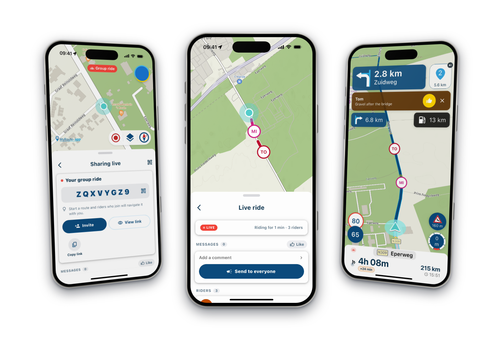
I'm a new user to MRA, previous Basecamp guy, really enjoying the new interface and how well it works on my smartphone. I like to also export routes to my Garmin XT2, just to have a backup. Using the "Connector" has been pretty easy so far.
Many thanks,
Jim O'Dowd
Franklin, TN -

@Jim-O-Dowd, No, such a function does not exist currently in the planner. I usually just look at the distances mentioned in the waypoint column on the left. Also there is a "calculator" function in the toolkit, that tells the distance and time between self-chosen waypoints.
Hello! It looks like you're interested in this conversation, but you don't have an account yet.
Getting fed up of having to scroll through the same posts each visit? When you register for an account, you'll always come back to exactly where you were before, and choose to be notified of new replies (either via email, or push notification). You'll also be able to save bookmarks and upvote posts to show your appreciation to other community members.
With your input, this post could be even better 💗
Register Login-
 1432664
-
 0941
0941
-
 08116
08116
-
 7626
7626
-
 0636
0636
-
05108
-
0411
-
 116316