Via point icons not showing on Zumo XT
-
After creating a route in MRA and adding details to via points ie: cafe stop and time and changing colour to red. After exporting, these do not show up on the Garmin Zumo XT map as such. The via points only show as start and destination flags. After watching the video for via en shaping, Serg shows the customised via points on a Zumo XT after exporting. So what am I doing wrong?
Did you use the Garmin XT export option?
-
-
Yes I did
Share you’re route please, make sure it is public. Then I can have a look
Garmin Zumo XT3/XT2/XT/BMW Connected Ride Navigator/Tourstart/ MyRouteapp (The App)/...
Een dag niet gelachen is een dag niet geleefd / Een route is net zo goed als deze uitgezet is. -
Share you’re route please, make sure it is public. Then I can have a look
@Hans-van-de-Ven-MRA-Master
Hi Hans
I have still my problem regarding the route between the second last point (sharping point or via point) and the finish point is a "offroad" track" I'm also using the Garmin XT option.
I have made my route public, called last point. -
@Hans-van-de-Ven-MRA-Master
Hi Hans
I have still my problem regarding the route between the second last point (sharping point or via point) and the finish point is a "offroad" track" I'm also using the Garmin XT option.
I have made my route public, called last point.Hendrik please share the url off the route here
Garmin Zumo XT3/XT2/XT/BMW Connected Ride Navigator/Tourstart/ MyRouteapp (The App)/...
Een dag niet gelachen is een dag niet geleefd / Een route is net zo goed als deze uitgezet is. -
Hendrik please share the url off the route here
@Hans-van-de-Ven-MRA-Master
https://www.myrouteapp.com/en/social/route/4559836?mode=share
-
@Hans-van-de-Ven-MRA-Master
https://www.myrouteapp.com/en/social/route/4559836?mode=share
Thanks, I will have to investigate that further, probably is it the track that you see, and when you drive the route it will be under the routeline
Garmin Zumo XT3/XT2/XT/BMW Connected Ride Navigator/Tourstart/ MyRouteapp (The App)/...
Een dag niet gelachen is een dag niet geleefd / Een route is net zo goed als deze uitgezet is. -
Thanks, I will have to investigate that further, probably is it the track that you see, and when you drive the route it will be under the routeline
@Hans-van-de-Ven-MRA-Master said in Via point icons not showing on Zumo XT:
Thanks, I will have to investigate that further, probably is it the track that you see, and when you drive the route it will be under the routeline
It worked fine for 8-10 days ago - if I try to disable the GPS satellite, and simulate the route on the device, the problem is also showed.
I'm not using tracks, as i like the via and sharping points options.
-
@Hans-van-de-Ven-MRA-Master said in Via point icons not showing on Zumo XT:
Thanks, I will have to investigate that further, probably is it the track that you see, and when you drive the route it will be under the routeline
It worked fine for 8-10 days ago - if I try to disable the GPS satellite, and simulate the route on the device, the problem is also showed.
I'm not using tracks, as i like the via and sharping points options.
From the Dutch XT FB group
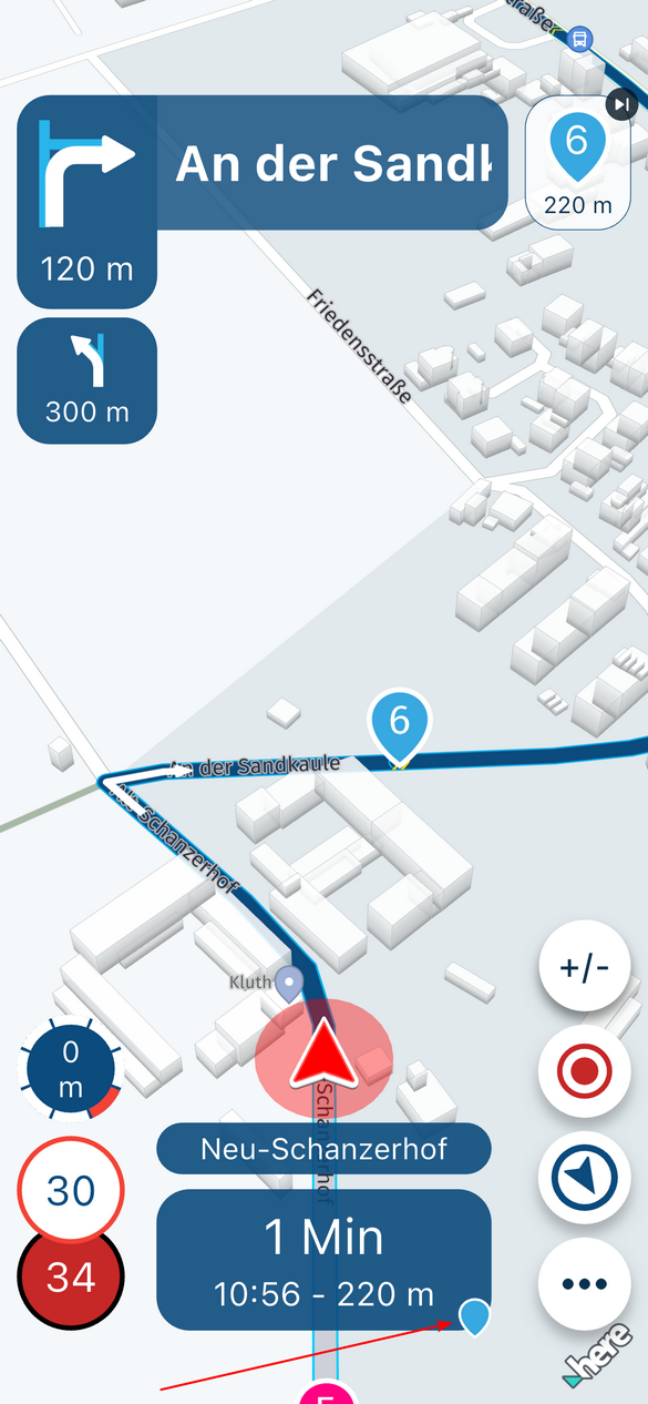
You probably haven't converted your track to the trip planner. Nowadays you can also choose 'Go' when you select the track. You will then get that dotted line to the start or nearest point, but no further indication. You should start the route from the trip planner and not from tracks.
Garmin Zumo XT3/XT2/XT/BMW Connected Ride Navigator/Tourstart/ MyRouteapp (The App)/...
Een dag niet gelachen is een dag niet geleefd / Een route is net zo goed als deze uitgezet is. -
From the Dutch XT FB group
You probably haven't converted your track to the trip planner. Nowadays you can also choose 'Go' when you select the track. You will then get that dotted line to the start or nearest point, but no further indication. You should start the route from the trip planner and not from tracks.
@Hans-van-de-Ven-MRA-Master
I’m using the trip planner (as shaping and via points are nice) - the dotted line is as you stated from where you right now to the first (via) point.
I’m not using tracks and convert them, as I then will lose the points benefits.
The issue I referred to, is the calculation between the second last point (sharping or via) and the finish (via point) marked by a checked flag.
(All in the trip planner)My workaround, right now is to place 2 points nearby the finish flag.... Looking forward for a fix.
/ Henrik
-
@Hans-van-de-Ven-MRA-Master
I’m using the trip planner (as shaping and via points are nice) - the dotted line is as you stated from where you right now to the first (via) point.
I’m not using tracks and convert them, as I then will lose the points benefits.
The issue I referred to, is the calculation between the second last point (sharping or via) and the finish (via point) marked by a checked flag.
(All in the trip planner)My workaround, right now is to place 2 points nearby the finish flag.... Looking forward for a fix.
/ Henrik
I had the same today

 ️
️Garmin Zumo XT3/XT2/XT/BMW Connected Ride Navigator/Tourstart/ MyRouteapp (The App)/...
Een dag niet gelachen is een dag niet geleefd / Een route is net zo goed als deze uitgezet is. -
I had the same today
️@Hans-van-de-Ven-MRA-Master said in Via point icons not showing on Zumo XT:
I had the same today
️Sound "good" - and as your status is instructor, you probably have access to elevate this issue to the right programmer people at MRA ?
/ Henrik -
@Hans-van-de-Ven-MRA-Master said in Via point icons not showing on Zumo XT:
I had the same today
️Sound "good" - and as your status is instructor, you probably have access to elevate this issue to the right programmer people at MRA ?
/ Henrik@Henrik-Müller
I don't know if this is a Garmin or an MRA issue, as I only see this on the XT and not on MRA Navigation. I'm going to test this by putting a route from Garmin Basecamp on my XT.Garmin Zumo XT3/XT2/XT/BMW Connected Ride Navigator/Tourstart/ MyRouteapp (The App)/...
Een dag niet gelachen is een dag niet geleefd / Een route is net zo goed als deze uitgezet is. -
@Henrik-Müller
I don't know if this is a Garmin or an MRA issue, as I only see this on the XT and not on MRA Navigation. I'm going to test this by putting a route from Garmin Basecamp on my XT.@Hans-van-de-Ven-MRA-Master
If I make a new route on the XT device in trip planner, it works as it should.
If the problem is in the XT software when importing GPX into trip planner, MRA must report it to the Garmin SW team, as MRA probably have more “weight” in the approach than a bunch of users...?
-
@Hans-van-de-Ven-MRA-Master
If I make a new route on the XT device in trip planner, it works as it should.
If the problem is in the XT software when importing GPX into trip planner, MRA must report it to the Garmin SW team, as MRA probably have more “weight” in the approach than a bunch of users...?
@Henrik-Müller
Then they probably already know at Garmin, and this will be solved with one of the updatesGarmin Zumo XT3/XT2/XT/BMW Connected Ride Navigator/Tourstart/ MyRouteapp (The App)/...
Een dag niet gelachen is een dag niet geleefd / Een route is net zo goed als deze uitgezet is. -
@Henrik-Müller
Then they probably already know at Garmin, and this will be solved with one of the updates@Hans-van-de-Ven-MRA-Master
Hi Hans
I’m writing the route works if you program the route on direct on the XT device in trip planner - so the Garmin own internally route calculation works.
The issue is starts when I import a ROUTE from MRA into trip planner, then the strange “off road route” between the second last and the last point appears.
I’m glad you have seen it yourself from MRA - How did your test with Basecamp go ?
-
@Hans-van-de-Ven-MRA-Master
Hi Hans
I’m writing the route works if you program the route on direct on the XT device in trip planner - so the Garmin own internally route calculation works.
The issue is starts when I import a ROUTE from MRA into trip planner, then the strange “off road route” between the second last and the last point appears.
I’m glad you have seen it yourself from MRA - How did your test with Basecamp go ?
@Henrik-Müller
I have not yet tested with a route from basecamp ... -
@Hans-van-de-Ven-MRA-Master
Hi Hans
I’m writing the route works if you program the route on direct on the XT device in trip planner - so the Garmin own internally route calculation works.
The issue is starts when I import a ROUTE from MRA into trip planner, then the strange “off road route” between the second last and the last point appears.
I’m glad you have seen it yourself from MRA - How did your test with Basecamp go ?
With a route from BC no problem, given the placement of the next to last route point, it is probably due to the distance between the last and the next to last route point that this will occur.
I added an extra route point and now the route continues as usual.
I'm going to test this further.
I'm going to place this with the developers.
To be continued. -
@Hans-van-de-Ven-MRA-Master
Hi Hans
I’m writing the route works if you program the route on direct on the XT device in trip planner - so the Garmin own internally route calculation works.
The issue is starts when I import a ROUTE from MRA into trip planner, then the strange “off road route” between the second last and the last point appears.
I’m glad you have seen it yourself from MRA - How did your test with Basecamp go ?
Hi Henrik, the route from the last waypoint to the end point is not calculated correctly, that's why you see either the dotted line of the track or a straight (direct route) route line.
It has been reported to the developers, they may need to make a minor adjustment to the .gpx file for the Garmin XT.Thanks for reporting.
Garmin Zumo XT3/XT2/XT/BMW Connected Ride Navigator/Tourstart/ MyRouteapp (The App)/...
Een dag niet gelachen is een dag niet geleefd / Een route is net zo goed als deze uitgezet is.
Hello! It looks like you're interested in this conversation, but you don't have an account yet.
Getting fed up of having to scroll through the same posts each visit? When you register for an account, you'll always come back to exactly where you were before, and choose to be notified of new replies (either via email, or push notification). You'll also be able to save bookmarks and upvote posts to show your appreciation to other community members.
With your input, this post could be even better 💗
Register Login-
1792
-
17134
-
010210
-
310262
-
011290
-
06179
-
0549
-
-1227