Hiking using public footpaths not roads.
-
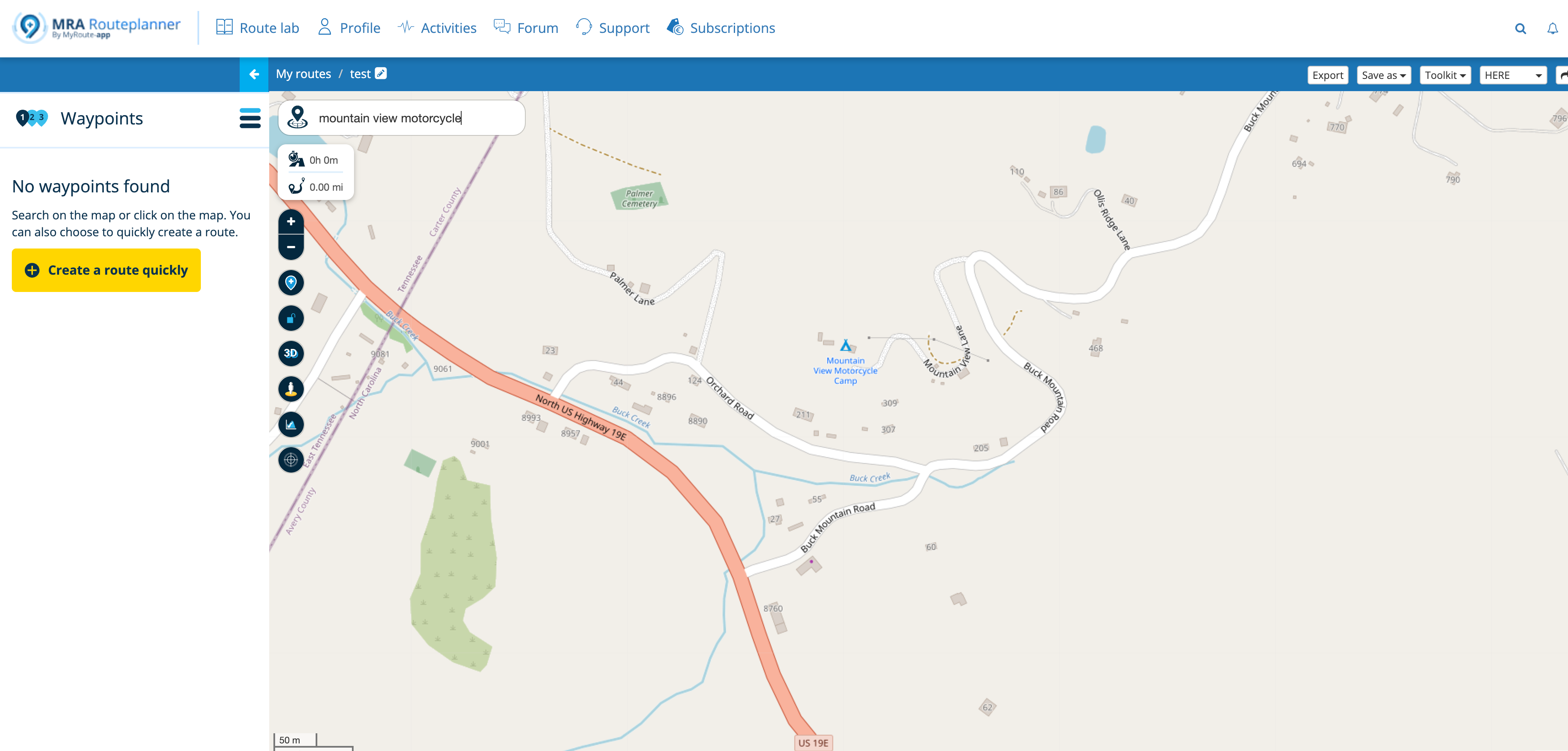
I use MRA for my motorcycle tours, but I would like to use it for hiking trips, but even when I input on foot, it routes using the road and not public footpaths, is it possible to do this on MRA, or do I need to use a dedicated walking app, such as Ordanance Survey.
-
I use MRA for my motorcycle tours, but I would like to use it for hiking trips, but even when I input on foot, it routes using the road and not public footpaths, is it possible to do this on MRA, or do I need to use a dedicated walking app, such as Ordanance Survey.
@steve-gaylor Create routes on the website route planner using the planning map from OpenStreetMap and select By foot as the transport mode. You will be able to plot your route on foot paths and tracks. When you select the route to navigate it will open using the HERE map so the paths may not be visible but you will still be able to navigate via the ‘Follow the line’ method of navigation.
-
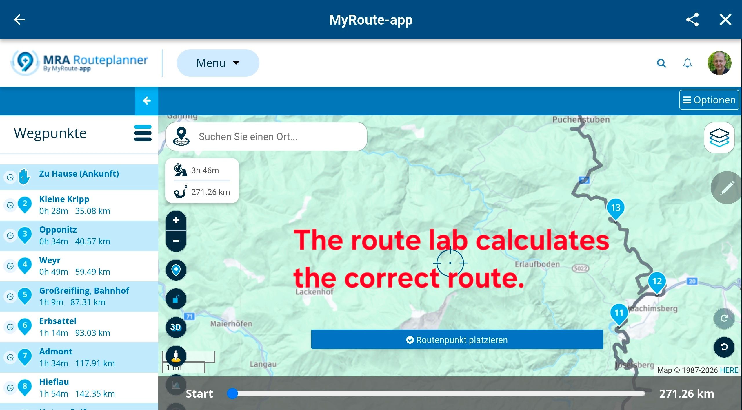
I think the intention is that overlay maps will be introduced sooner or later, which will be very beneficial for walking and cycling indeed. I have no idea about priority though.
Hello! It looks like you're interested in this conversation, but you don't have an account yet.
Getting fed up of having to scroll through the same posts each visit? When you register for an account, you'll always come back to exactly where you were before, and choose to be notified of new replies (either via email, or push notification). You'll also be able to save bookmarks and upvote posts to show your appreciation to other community members.
With your input, this post could be even better 💗
Register Login-
0564
-
08173
-
08186
-
07159
-
1574
-
0341.6k
-
09395
-
7221.4k