NAV 6 Craziness
-
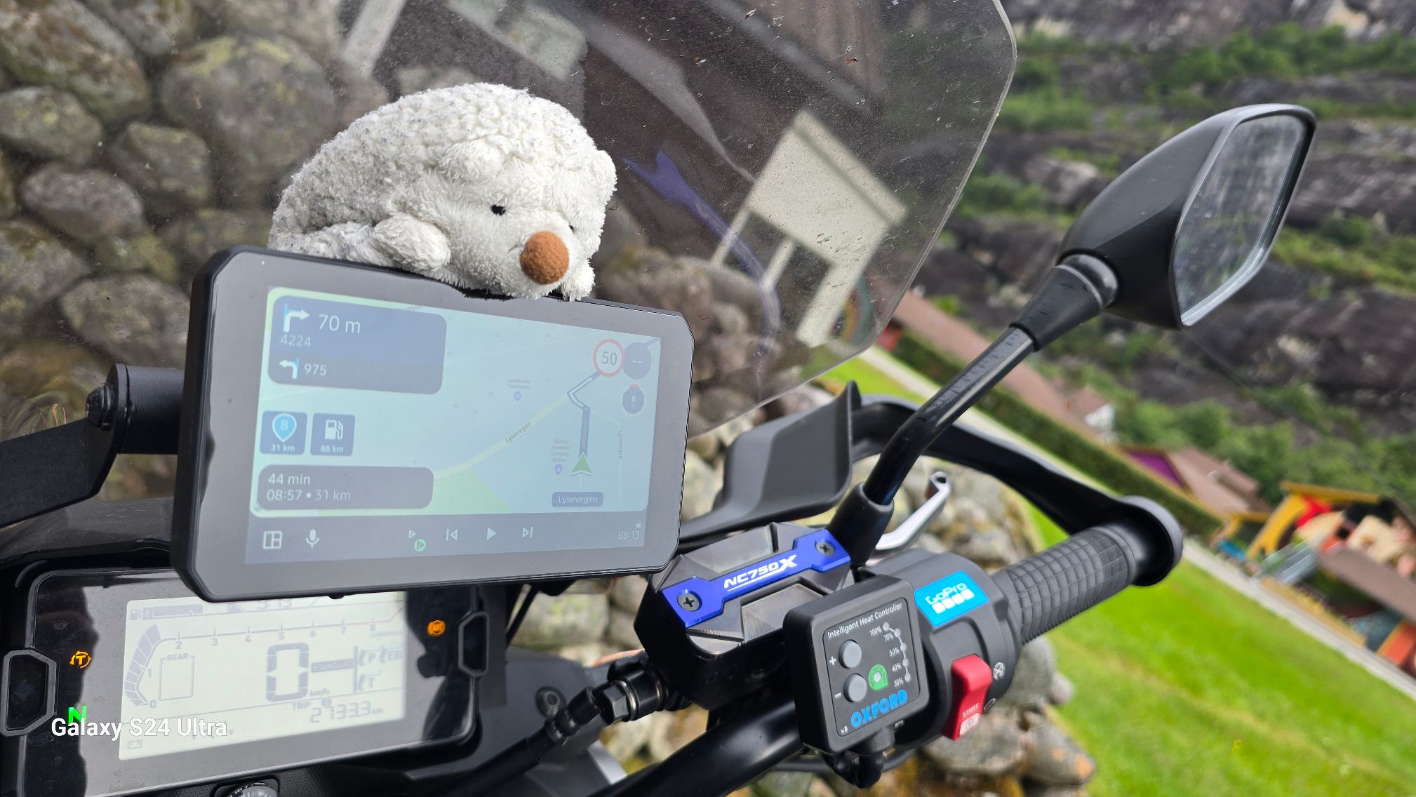
I'm just home from another Euro Adventure on BMW R1250RS. Many delightful hours spent earlier carefully planning via MyRoute App. Routes then uploaded to NAV 6. I had ridden less than 2 miles from home when the Garmin wanted me to turn right instead of an obvious left. WTF ! It then, one mile later, gave yet another 180 degree wrong and blindingly obvious insane instruction. It's driving me nuts as it did exactly the same thing last September. Can anyone please throw any light on this before I throw the Garmin in the trash ?
Or recommendations for alternatives. If I use my I phone do I get roaming charges in the EU for map guidance ?
-
I'm just home from another Euro Adventure on BMW R1250RS. Many delightful hours spent earlier carefully planning via MyRoute App. Routes then uploaded to NAV 6. I had ridden less than 2 miles from home when the Garmin wanted me to turn right instead of an obvious left. WTF ! It then, one mile later, gave yet another 180 degree wrong and blindingly obvious insane instruction. It's driving me nuts as it did exactly the same thing last September. Can anyone please throw any light on this before I throw the Garmin in the trash ?
Or recommendations for alternatives. If I use my I phone do I get roaming charges in the EU for map guidance ?
@John-B-1 MRA Navigation Next can operate entirely offline so no roaming charges at all. I only navigate offline and I would thoroughly recommend it as a great alternative to the incredibly fussy Garmin.
Always willing to help if I can.
Triumph Tiger 1200 XRT called Tina.
MRA Navigation Next and SilverFox BJ8 -
What about temporarily switching off the automatic recalculation function on the Garmin? Upload the created track on the Garmin by using the MRA-app and the Drive-app (if it's a XT), convert the track on the Garmin into a route, also tick on 'show the track'. Easy!
Works fine for me after having created routes on the MRA web planner and then downloading it as a track (and I ride a lot in sometimes far away countries).For us ('Europeans' from the continent) data use in other European countries is like 'roam like at home'. No extra costs within your current data use subscription. For 'Brits' (I presume) I don't know, but your provider can tell (or use Google to find out).
-
I'm just home from another Euro Adventure on BMW R1250RS. Many delightful hours spent earlier carefully planning via MyRoute App. Routes then uploaded to NAV 6. I had ridden less than 2 miles from home when the Garmin wanted me to turn right instead of an obvious left. WTF ! It then, one mile later, gave yet another 180 degree wrong and blindingly obvious insane instruction. It's driving me nuts as it did exactly the same thing last September. Can anyone please throw any light on this before I throw the Garmin in the trash ?
Or recommendations for alternatives. If I use my I phone do I get roaming charges in the EU for map guidance ?
@John-B-1 The only way to get a Garmin device to go exactly were you want is to
1.Make sure that your settings on the Garmin device and your routing software are the same. i.e faster time and any avoidances i.e. Off road. I use MRA and Basecamp and this is essential.
2.Put in plenty of shaping points between your via points on the roads you want to be on.
- Practice the use of your software and the device long before you go on holiday to see what works and does not work. (Most important point!)
I Have used Garmin devices since 2004 (A Streetpilot 2610) and currently use A Zumo 340 and 390 on an Old R1150GS I ride and use a Zumo XT and MRA (Android Auto) on my Africa Twin Adventure Sports. FWIW I use MRA (Offline on an old phone) tethered to my Africa Twin Dash as my main navigation device now. I also use OSMand+ for track navigation/offroad. I concurrently run the route (and the route track) on My Zumo XT. But the main use of the XT is to handle POI's and proximity warnings for POI's which the Garmin does much better than MRA does at the moment. For useful Garmin content these are worth a read.
This is Zumo XT specific but many of the general principles apply to the Nav 6 which is a Garmin Device.
https://www.zumouserforums.co.uk/viewtopic.php?t=1464
https://www.zumouserforums.co.uk/viewtopic.php?t=3139And for route planning
https://www.newenglandriders.org/learn-basecamp/
Again this applies to Basecamp but many of the principles included apply to MRA and also helps explain why your Nav 6 sometimes does not do what it ought to do.
-
Dit klopt helemaal. Dit is zoals ik het ook doe. Ik gebruik MRA op de motor met de Carpuride maar daarnaast heb ik nog steeds als backup de Garmin XT met zowel de route als track ik beeld. Voordeel van de Garmin is dat deze gemakkelijker in- en uit zoomt. En ik heb geen problemen met de route tijdens het rijden.
This is absolutely right. This is the way I do it too. I use MRA on the bike with the Carpuride but in addition I still have as a backup the Garmin XT with both the route and track I picture.
Advantage of the Garmin is that it zooms in and out more easily. And I have no problems with the route while riding. -
As for all zumo's and bmw nav's, if your route started at your home you have to pass that via point. As the nav wanted to send you back the nav did'nt picked up the starting point. Or you put a second "waypoint" (hand) about 100 meters after the initial starting point and choose that starting point when activating the route in your nav VI or you always let your routes start about 100 meters from your current location.
If you optimized your route in the web planner using the toolkit in combination with the underlying track you shouldn't have any problems.SP2820, 550, 660, 590, XT. Mapsource, Tyre (met de nodige conversaties tot hierboven), Kurviger, Routeyou, MRA Gold sinds het begin, MRA Next app, App68studio,.. en BC natuurlijk
-
@John-B-1 MRA Navigation Next can operate entirely offline so no roaming charges at all. I only navigate offline and I would thoroughly recommend it as a great alternative to the incredibly fussy Garmin.
Many thanks, Nick. I'll try.
-
As for all zumo's and bmw nav's, if your route started at your home you have to pass that via point. As the nav wanted to send you back the nav did'nt picked up the starting point. Or you put a second "waypoint" (hand) about 100 meters after the initial starting point and choose that starting point when activating the route in your nav VI or you always let your routes start about 100 meters from your current location.
If you optimized your route in the web planner using the toolkit in combination with the underlying track you shouldn't have any problems.@Guzt Thanks. I'll give it a go.
-
My Navigator 5 and 6 are in the BIN and brned them ! I do'n' want to resell them for avoiding people going crazy !
-
The only way I can get my Nav6 to follow the planned route is to only use via points, if I use way points it always tries to deviate from the set route.
Hello! It looks like you're interested in this conversation, but you don't have an account yet.
Getting fed up of having to scroll through the same posts each visit? When you register for an account, you'll always come back to exactly where you were before, and choose to be notified of new replies (either via email, or push notification). You'll also be able to save bookmarks and upvote posts to show your appreciation to other community members.
With your input, this post could be even better 💗
Register Login-
0784
-
1733.4k
-
3648
-
0661
-
08152
-
014665
-
2437
-
0347