-
v5.2 (473) Feedback
Moved -
-
-
-
-
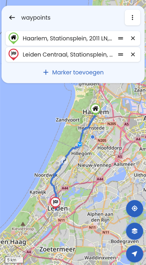
Veekeersinfo en omleiden
Moved -
-
-
-
-
-
-
-
-
-
-
-
Wunderlinq mive keft
Moved -
-
ACTIVE USERS
 undefined
 undefined
undefined
undefined
 undefined
 undefined
 undefined
 undefined
 undefined
 undefined
 undefined
 undefined
 undefined
 undefined
 undefined
 undefined
POPULAR TOPICS
undefined
POPULAR TOPICS
Hubert Thoring
Gianluca 0
Paul Borghouts
Corjan Meijerink
white.mouse
nomko
Rob Verhoeff
Guzzist
GT JWR
Marinus van Deudekom
Gerard Wullink
Leike Lodiers
Peter Zehentreiter
Mzokk
Lenny O
MY GROUPS